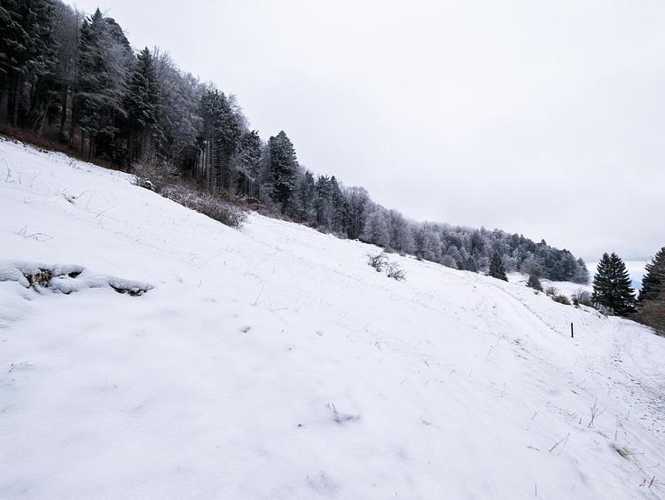
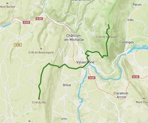
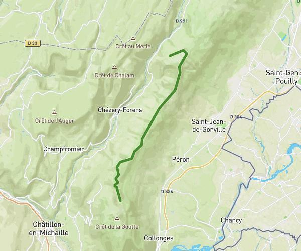
This hiking trail covers 14.433mi starting from Injoux-Génissiat, Ain. The hike does not return to the trailhead and ends near Route Du Grand Colombier, 01350 Anglefort. This hike is rated as strenuous, plan for about 5h30m to complete it. The route has an elevation gain of 2595ft and an elevation loss of 2044ft.
Jour 4
Route details
2.62mph
Speed
2441 kcal
Calories burned
6.1%
Avg grade
Point to point
Route type
3189ft
Min altitude
4977ft
Max altitude
Route profile
2595ft
Elevation gain
2044ft
Elevation loss
3189ft
Min altitude
4977ft
Max altitude
How to get there
Trailhead: 01200 Injoux-Génissiat
GPS coordinates of the trailhead: 46.05926, 5.72826 / 46°3'33'' N, 5°43'41'' E