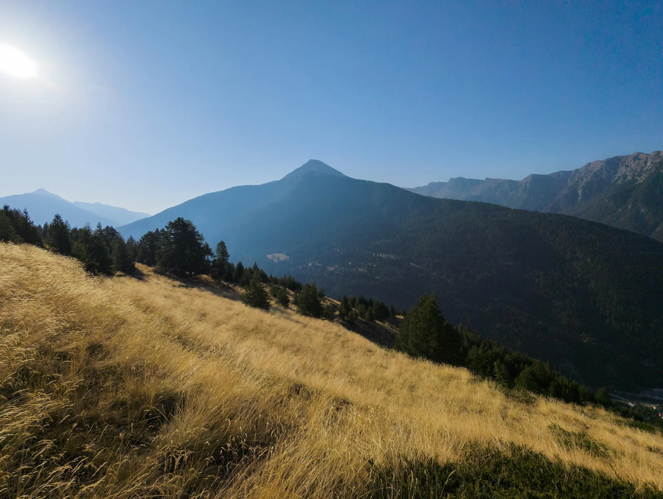
This hiking trail covers 11.207mi starting from Aiguilles, Hautes-Alpes. The hike is a loop trail and returns to the trailhead. This hike is rated as hard, plan for about 6h21m to complete it. The route has an elevation gain of 5030ft and an elevation loss of 4970ft.
Description of the route by the creator
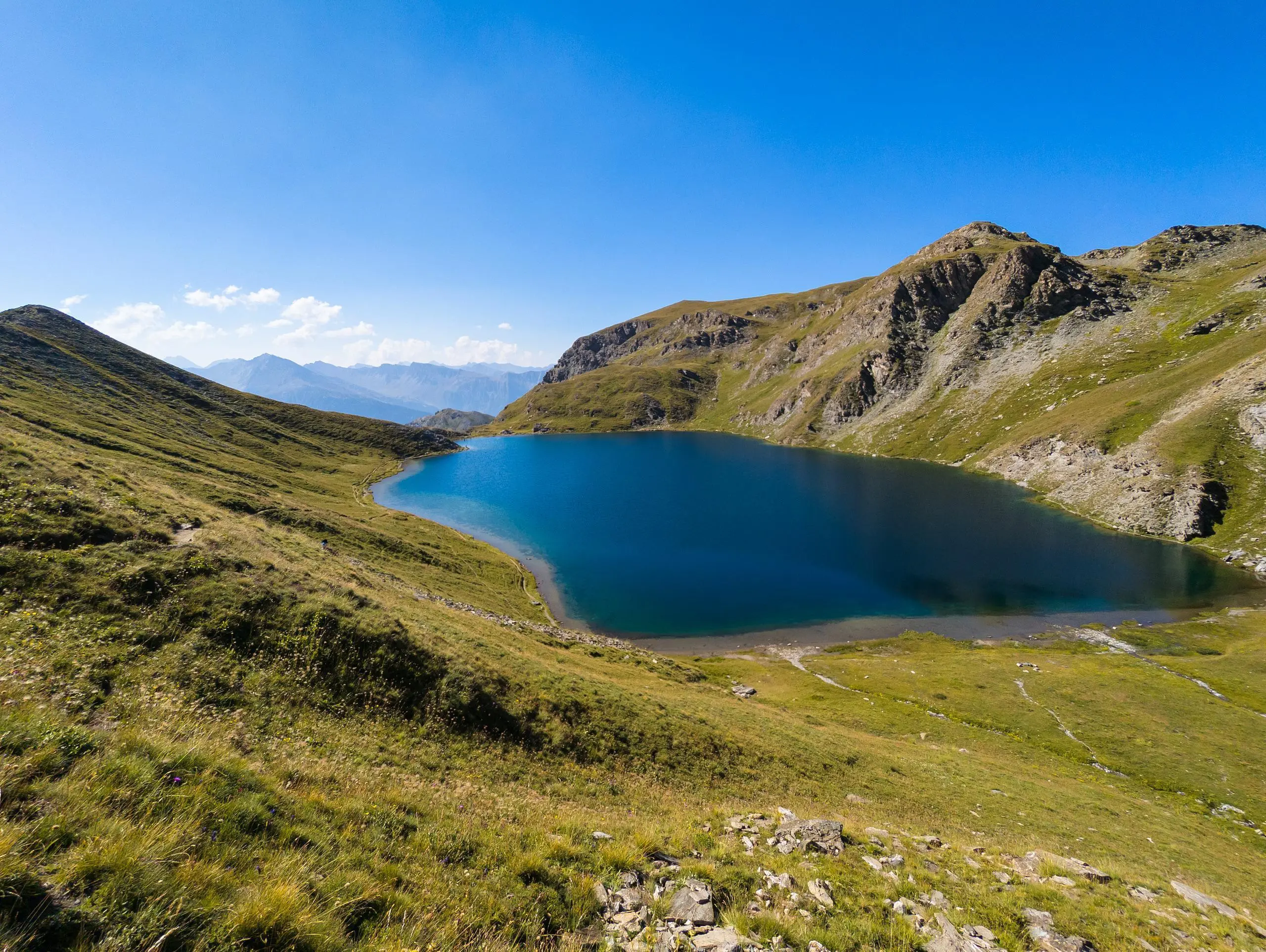
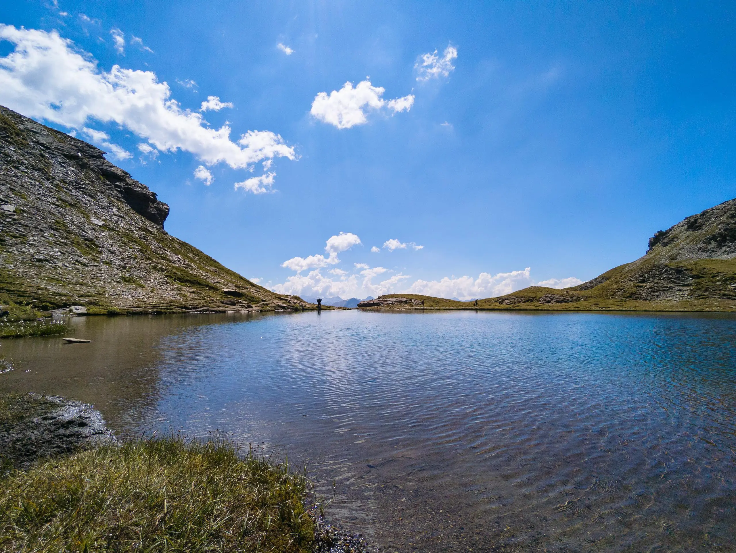
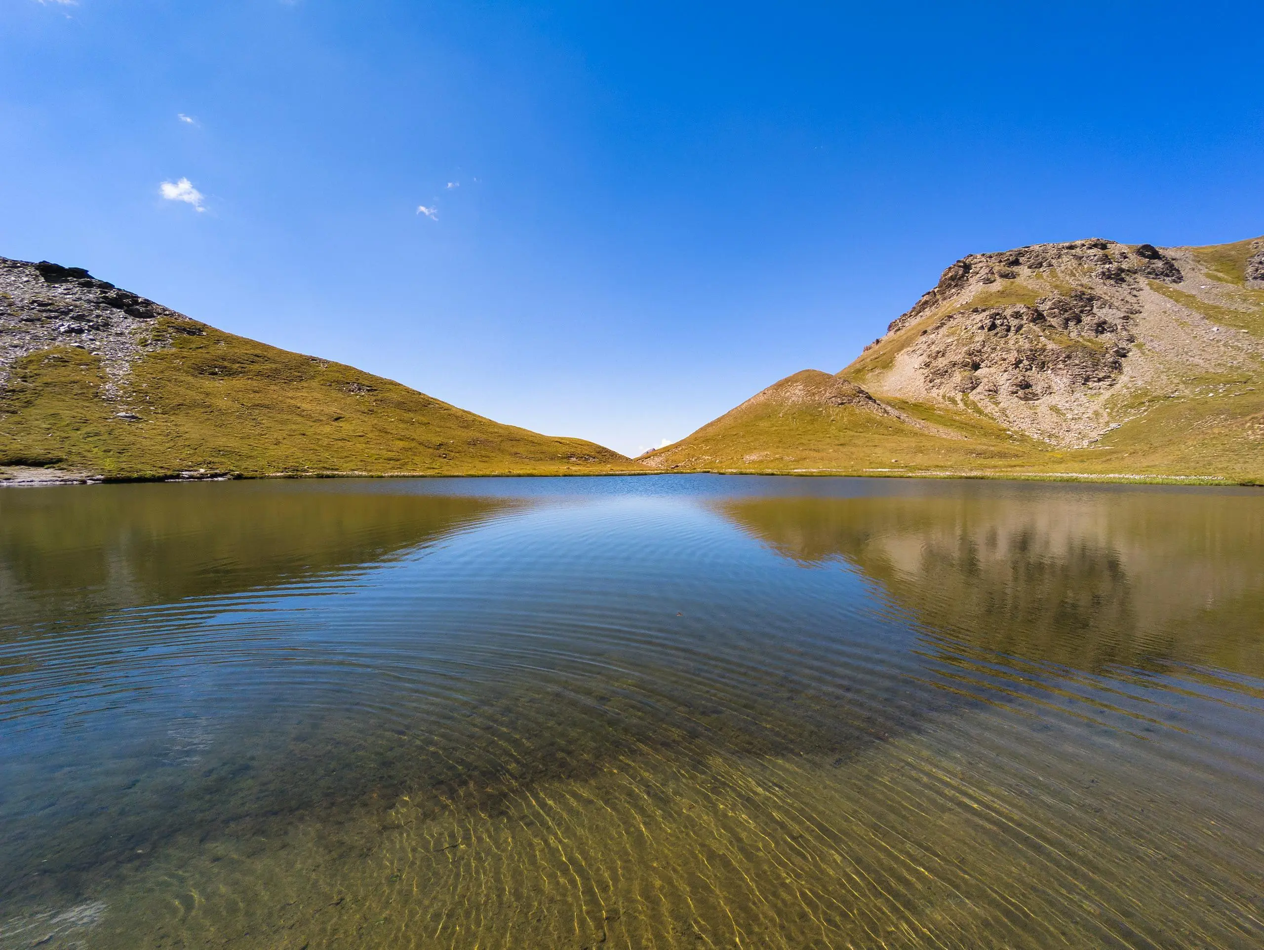
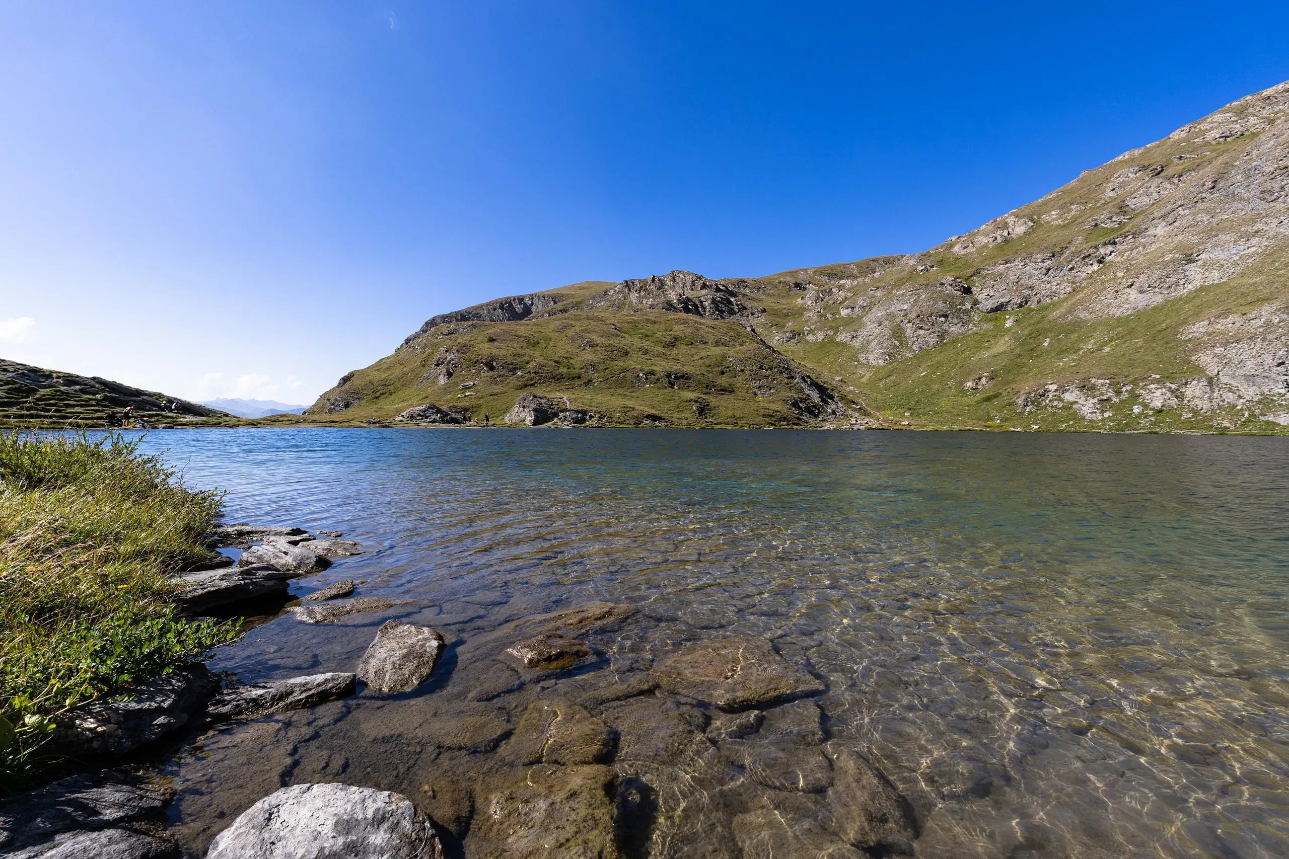
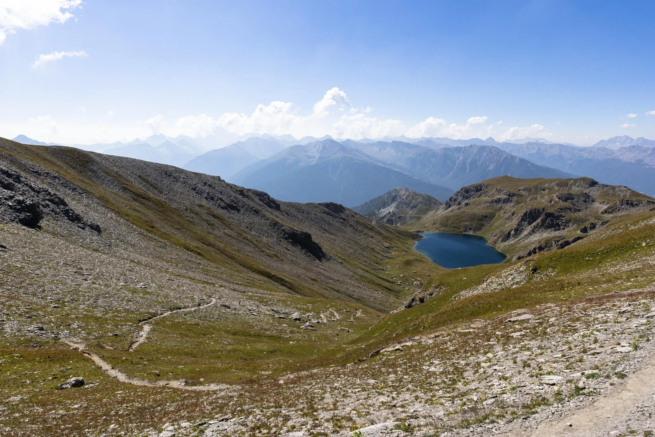
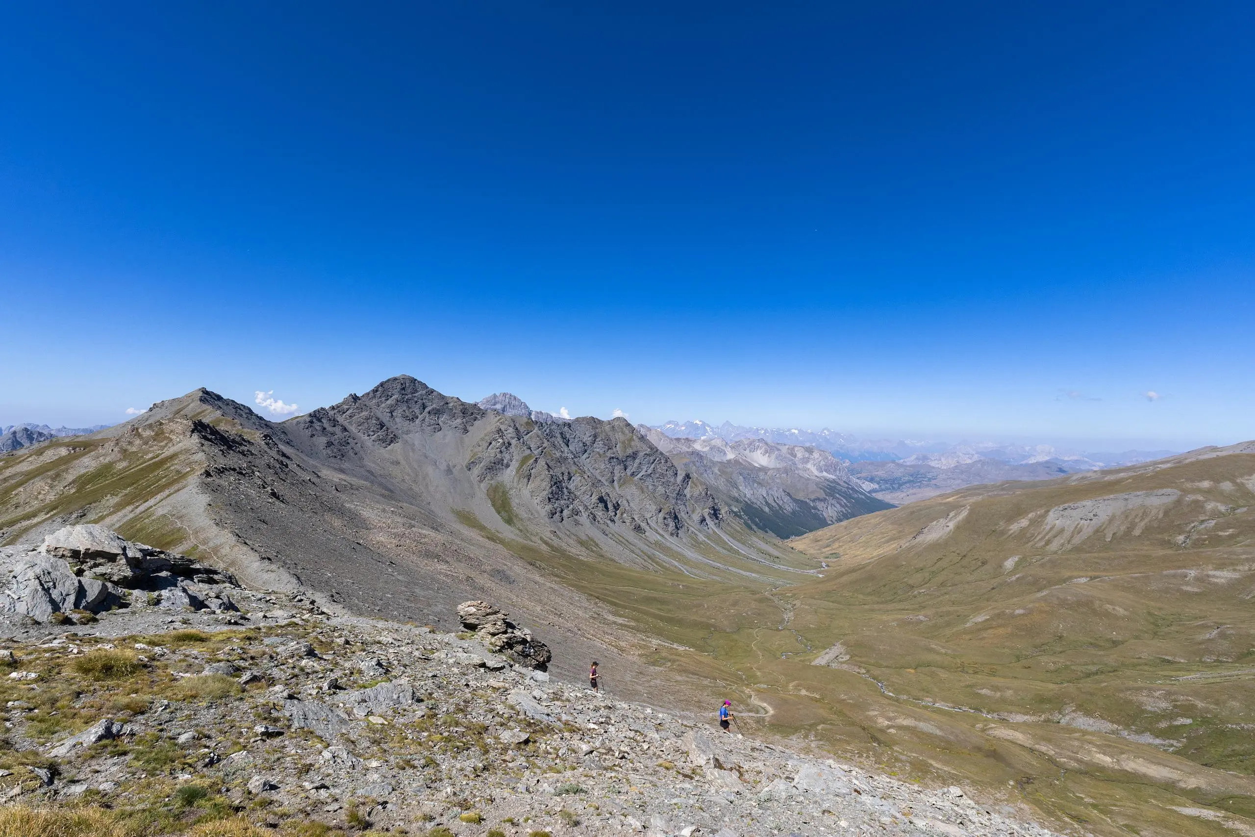
From the parking lot at the bottom of the village of L'Aiguille, follow the signs up to Lacs du Grand and Petit Lauss. The 2 lakes are close together, and it is possible to extend the hike via the Col de Malrif and Pic de Malrif. They are easily accessible from the lakes. It just adds to the climb. The hike presents no particular difficulties apart from the length and height difference.