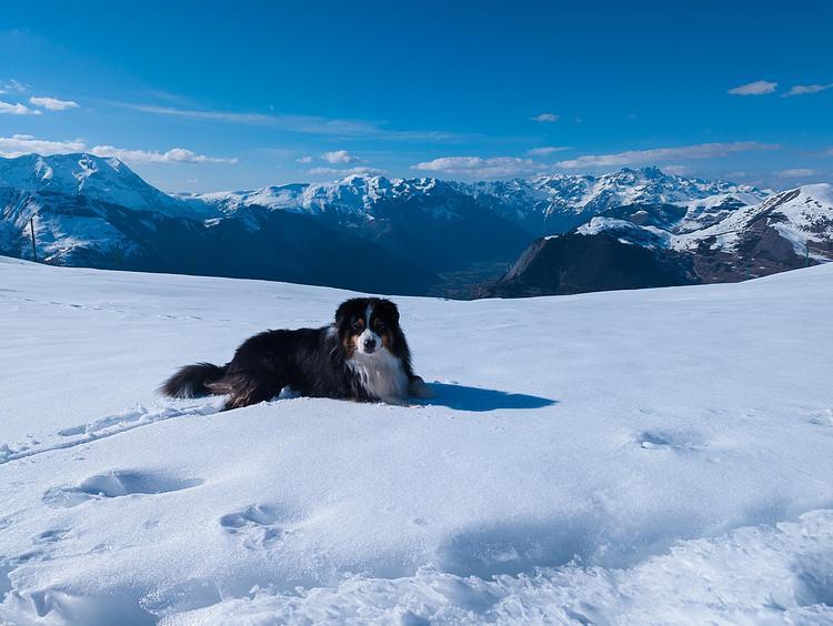
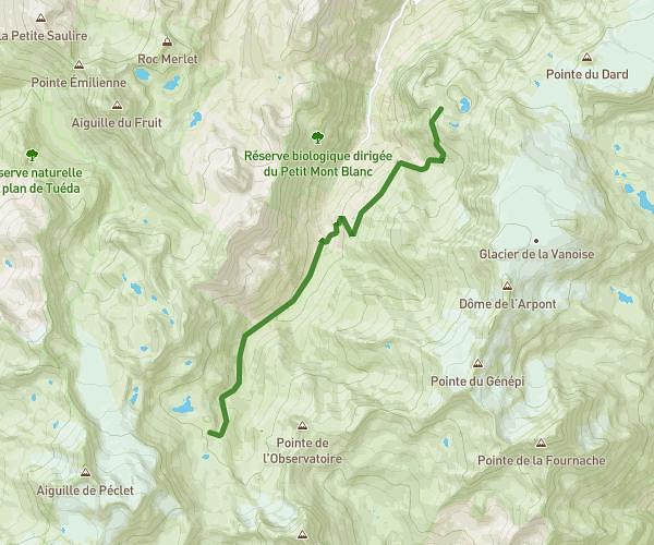
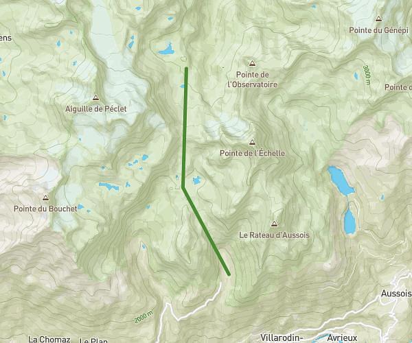
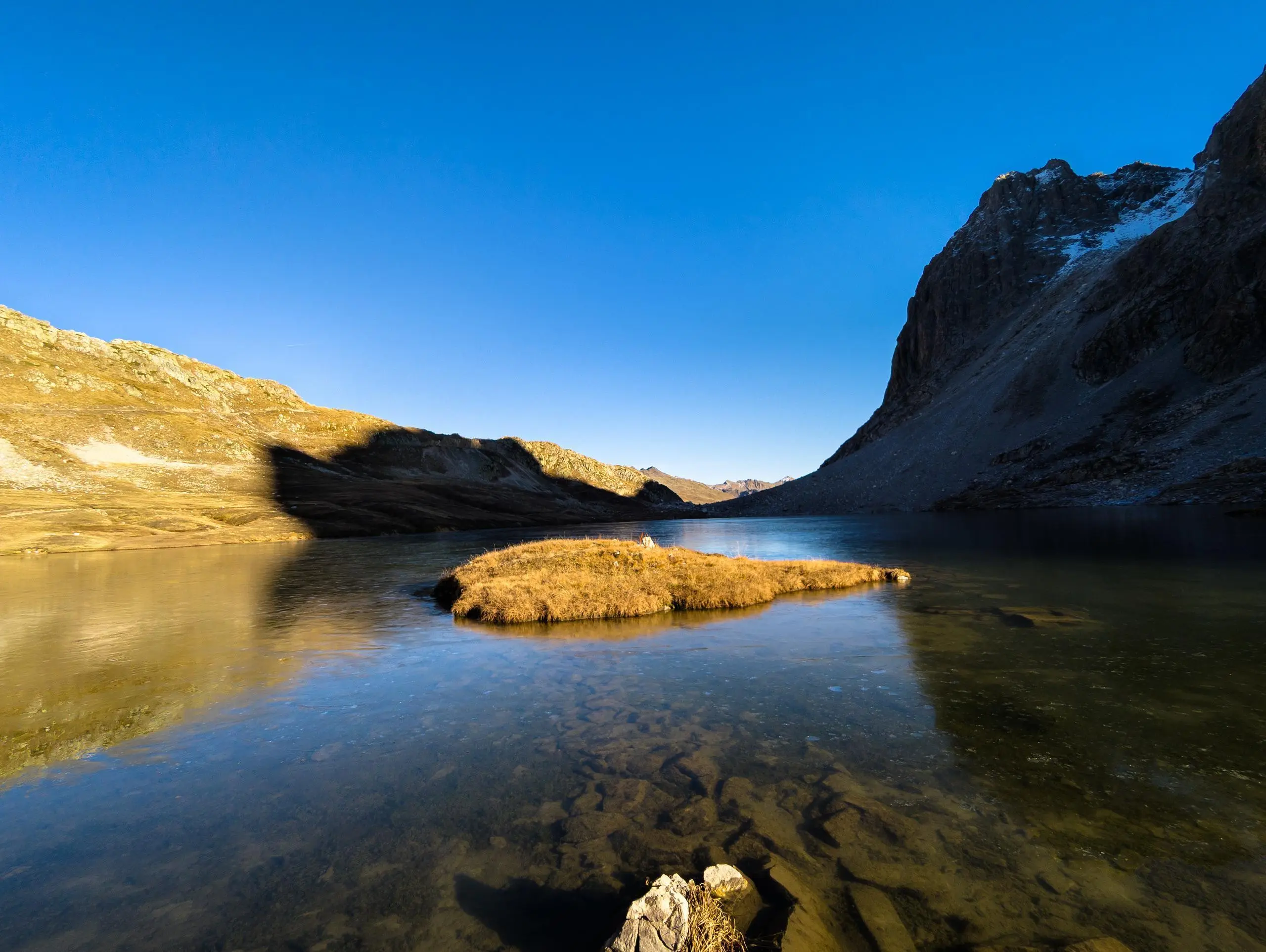
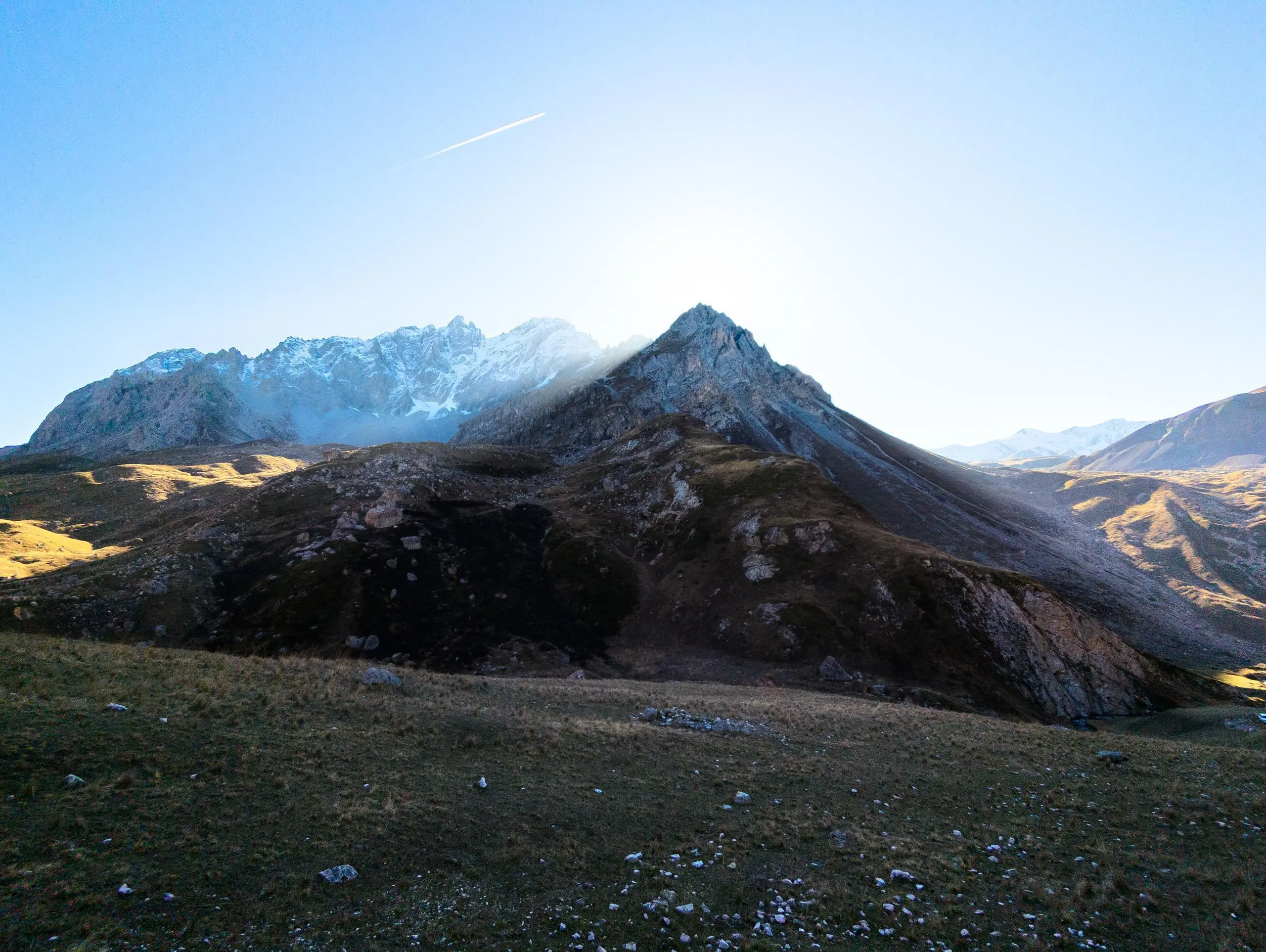
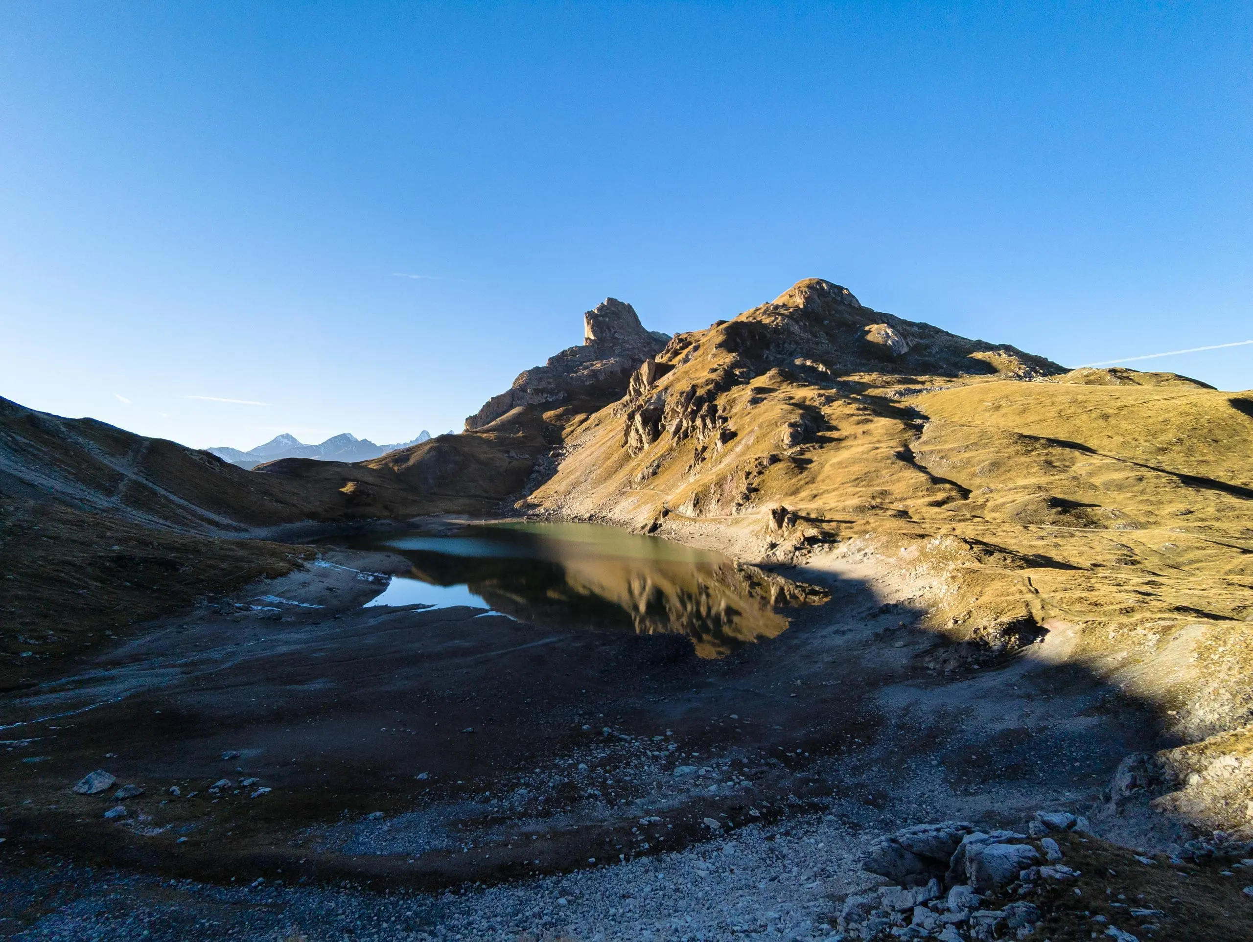
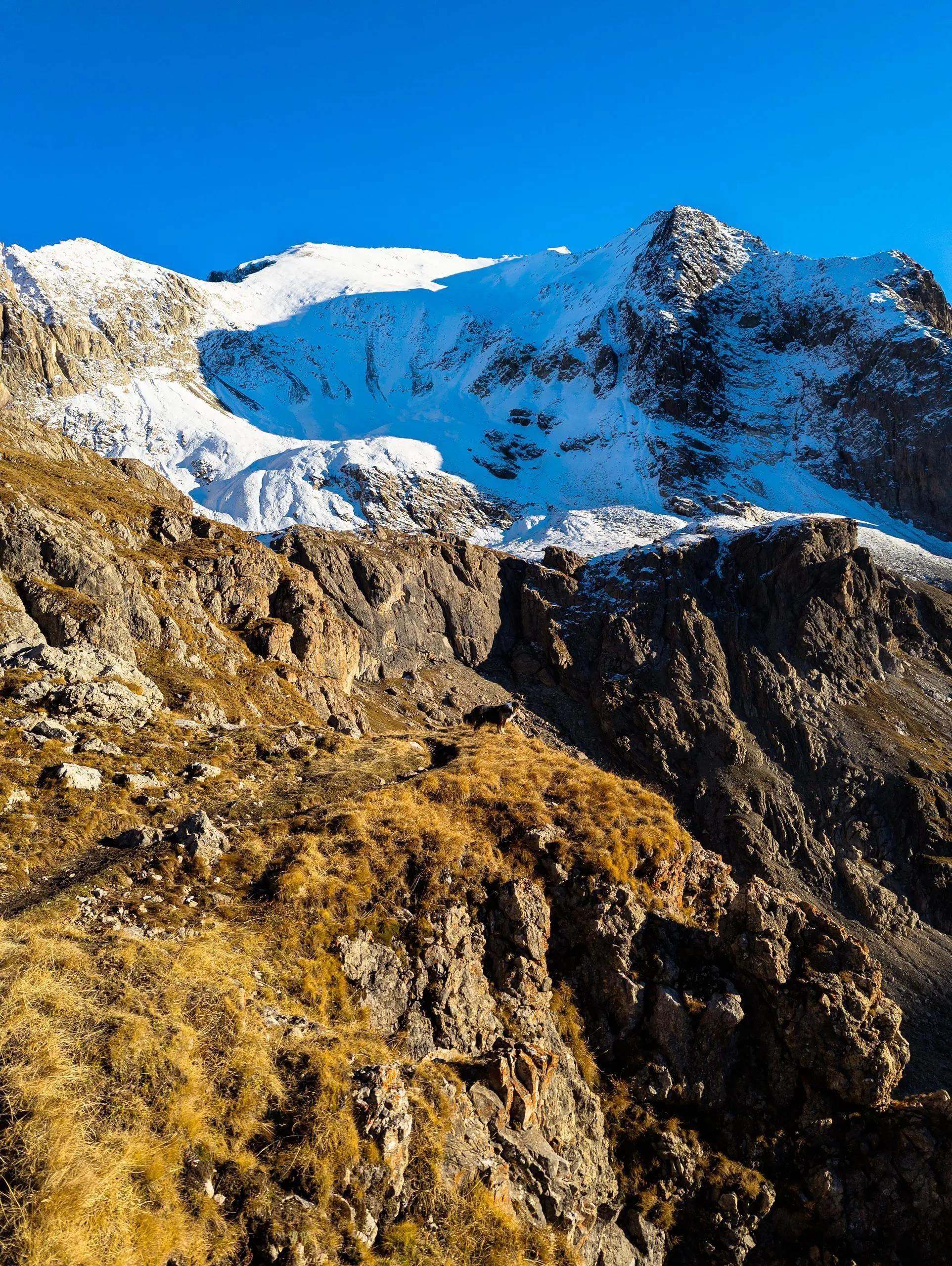
This hiking trail covers 8.7mi starting from Valloire, Savoie. The hike does not return to the trailhead and ends near Route Du Galibier, 73450 Valloire, France. This hike is rated as strenuous, plan for about 3h59m to complete it. The route has an elevation gain of 2877ft and an elevation loss of 3022ft.
Pointe des Cerces
Route details
2.17mph
Speed
1855 kcal
Calories burned
12.8%
Avg grade
Point to point
Route type
6385ft
Min altitude
9029ft
Max altitude
High altitude
Steep climb
Route profile
2877ft
Elevation gain
3022ft
Elevation loss
6385ft
Min altitude
9029ft
Max altitude
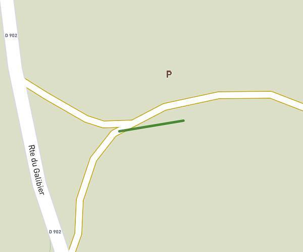
How to get there
Trailhead: 31 Chemin Des Mottets, 73450 Valloire, France
GPS coordinates of the trailhead: 45.08946, 6.43701 / 45°5'22'' N, 6°26'13'' E