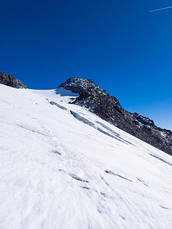
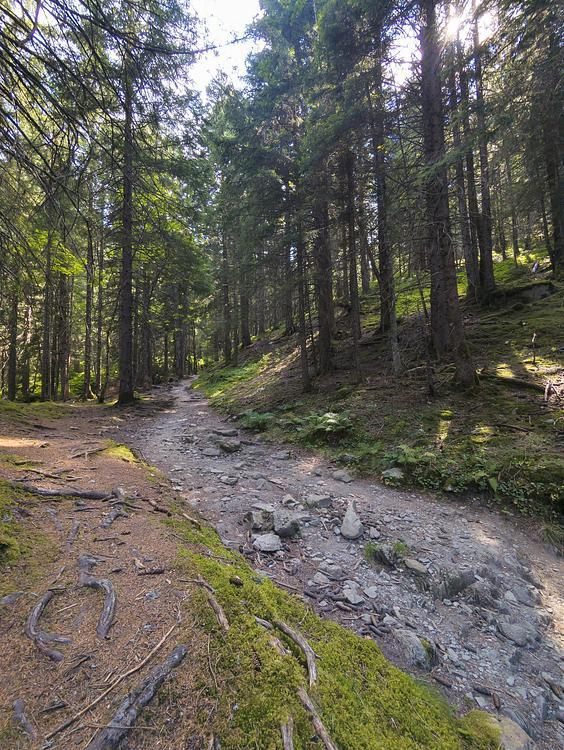
This hiking trail covers 2.126mi starting from Saint-Colomban-des-Villards, Savoie. The hike is a loop trail and returns to the trailhead. This hike is rated as moderate, plan for about 43m to complete it. The route has an elevation gain of 817ft and an elevation loss of 814ft.
Test rando
Route details
2.96mph
Speed
338 kcal
Calories burned
14.5%
Avg grade
Loop trail
Route type
3763ft
Min altitude
4482ft
Max altitude
Steep climb
Route profile
817ft
Elevation gain
814ft
Elevation loss
3763ft
Min altitude
4482ft
Max altitude
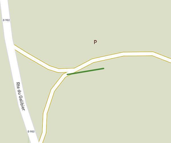
How to get there
Trailhead: 89 Route De Grange Neuve, 73130 Saint-Colomban-des-Villards, France
GPS coordinates of the trailhead: 45.29102, 6.21693 / 45°17'27'' N, 6°13'0'' E