MapPlanner
12.518mi
Distance
6h4m
Duration
+4806ft
Elevation gain
-4777ft
Elevation loss
Strenuous
Level

Réserve nationales du Mont-Viso : Tunnel de la Traversette et Pointe de Marte

The approach path with a view of Mont Viso
The ascent to Pointe de Marte
A short pause at the bridge over the river
View from the Traversette Tunnel
The Traversette Tunnel
Inside the Traversette Tunnel
On the Italian side, once through the tunnel
View from Pointe de Marte
The cross at Pointe de Marte

Route details

2.27mph
Speed
2862 kcal
Calories burned
14.5%
Avg grade
Loop trail
Route type
5889ft
Min altitude
10341ft
Max altitude
High altitude Steep climb

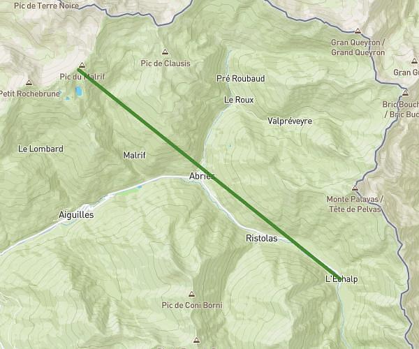
This hiking trail covers 12.518mi starting from Abriès-Ristolas, Hautes-Alpes. The hike is a loop trail and returns to the trailhead. This hike is rated as strenuous, plan for about 6h4m to complete it. The route has an elevation gain of 4806ft and an elevation loss of 4777ft.

Description of the route by the creator

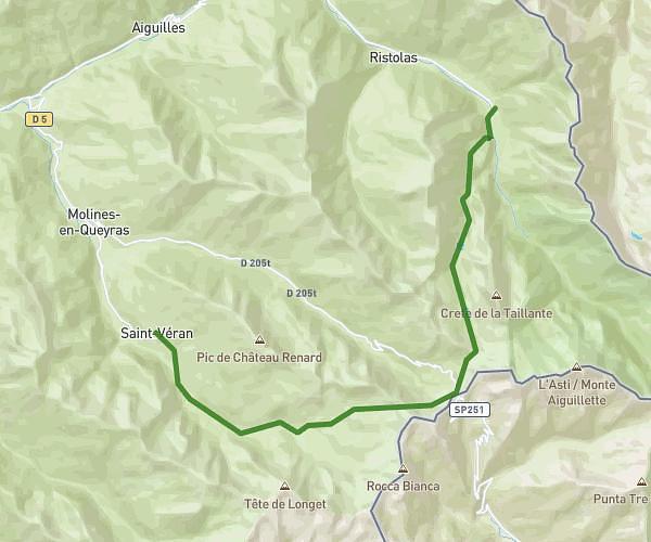
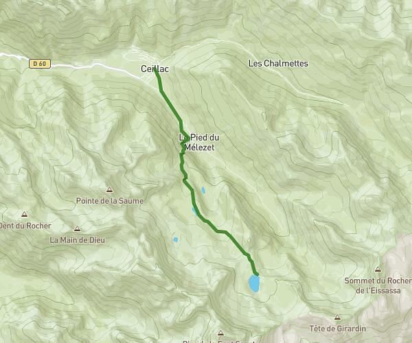
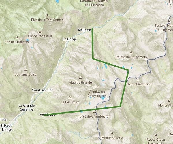
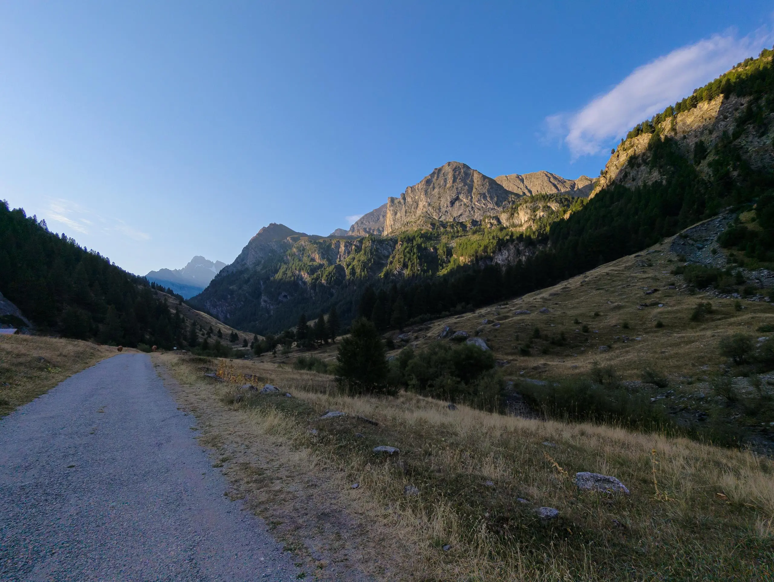
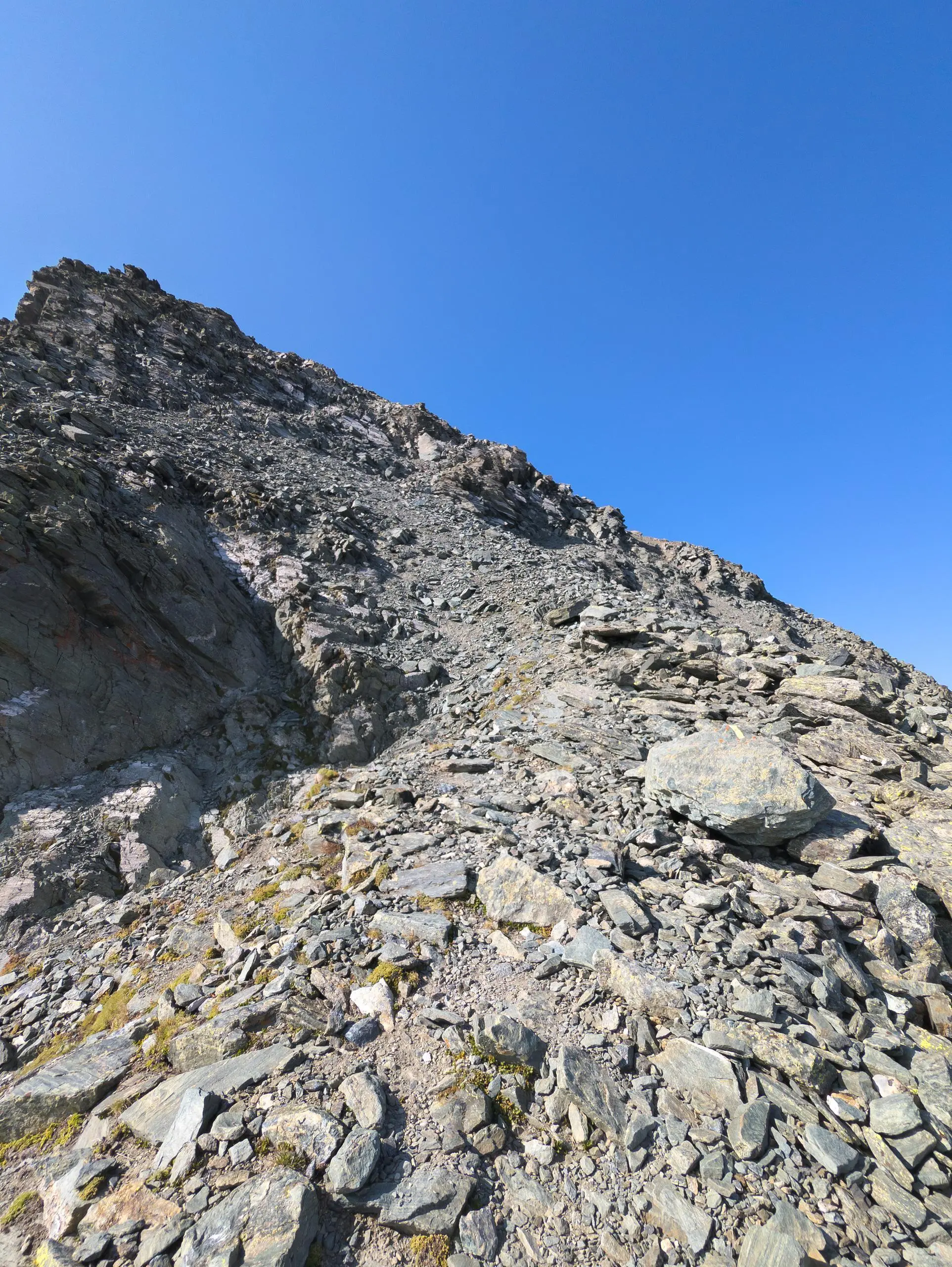
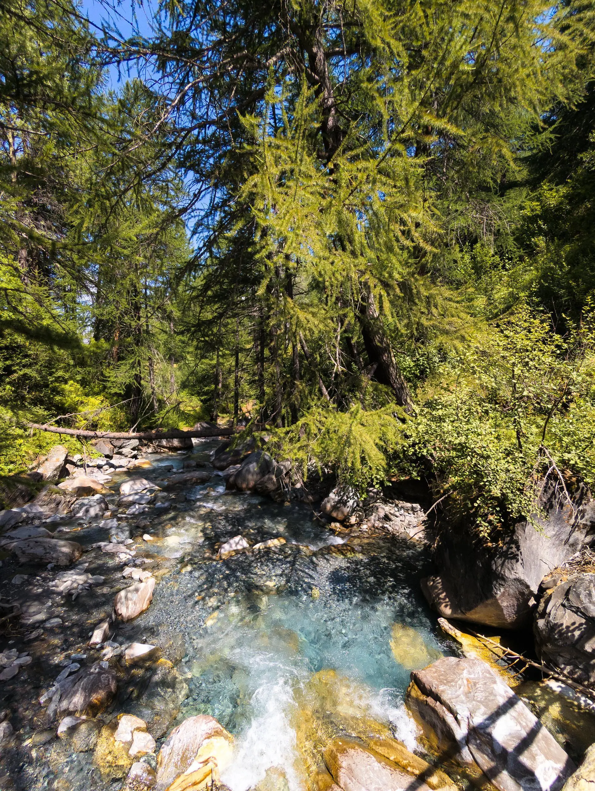
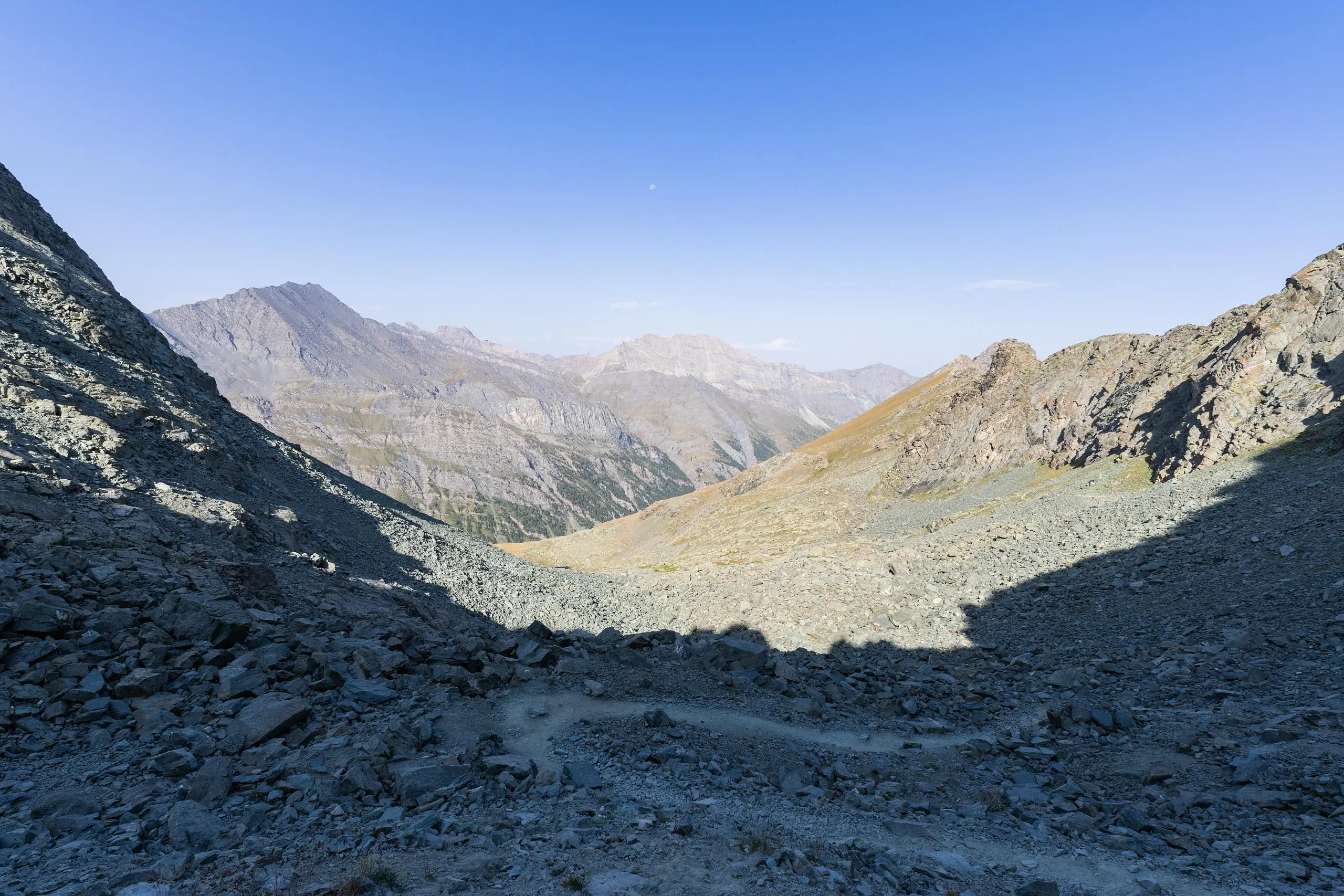
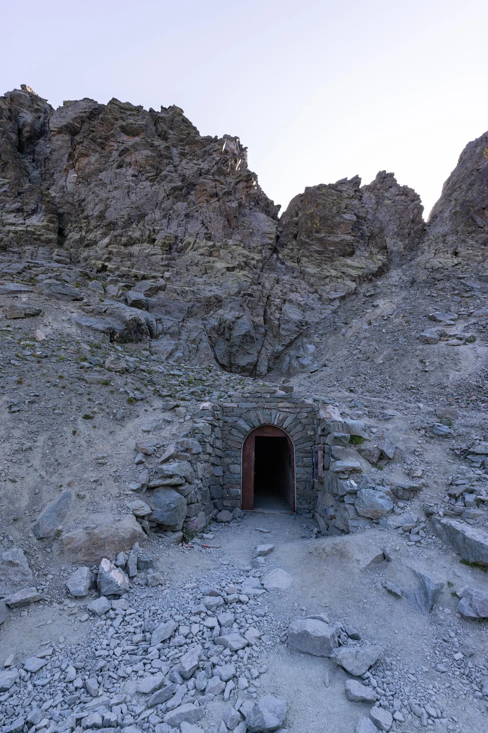
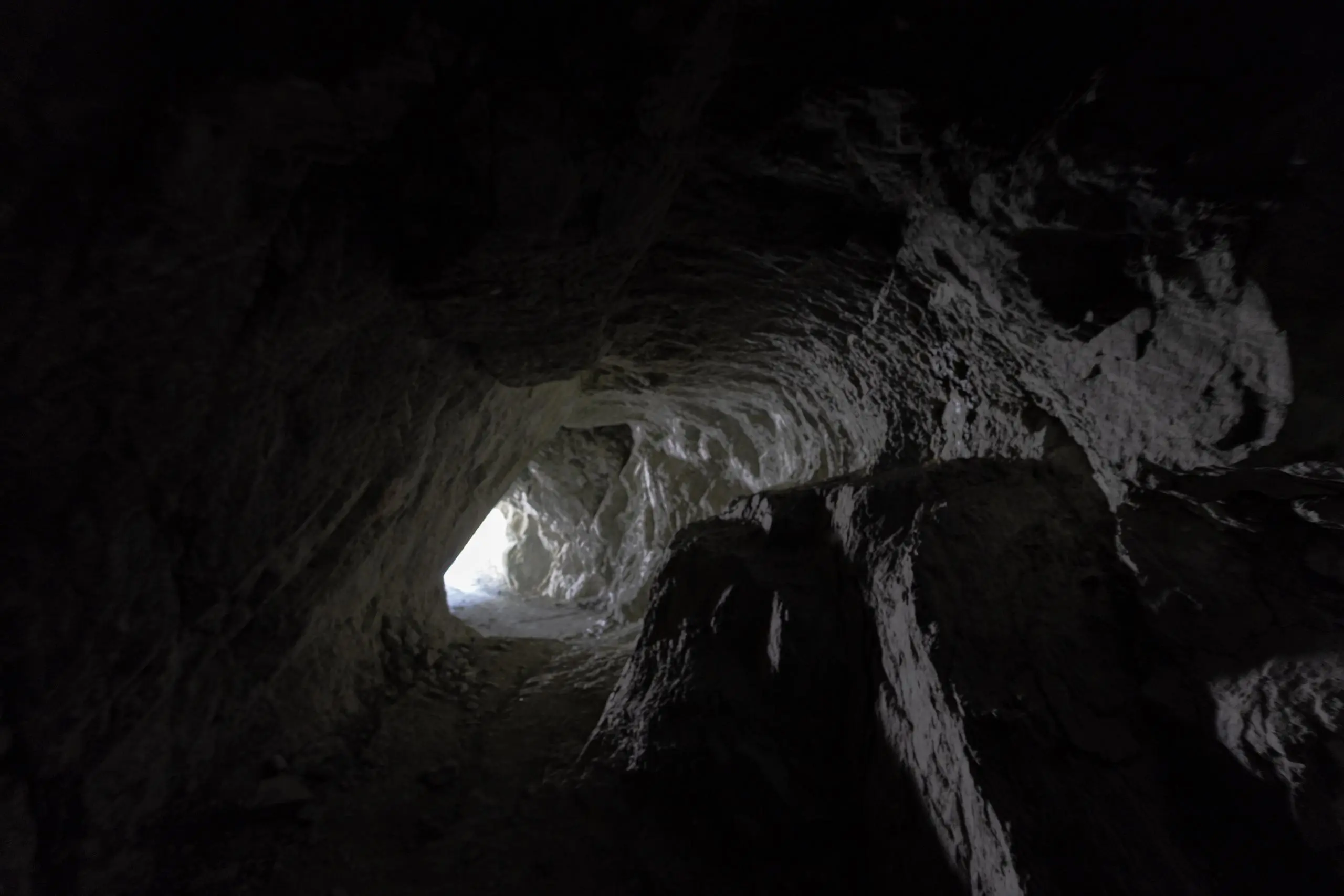
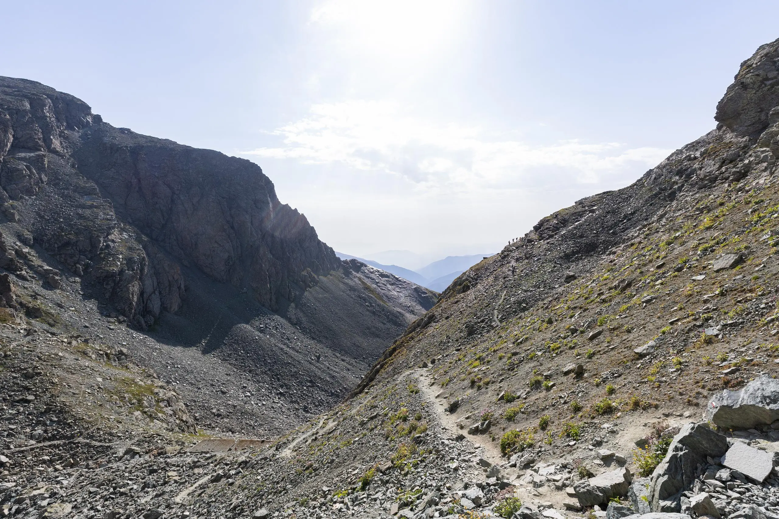
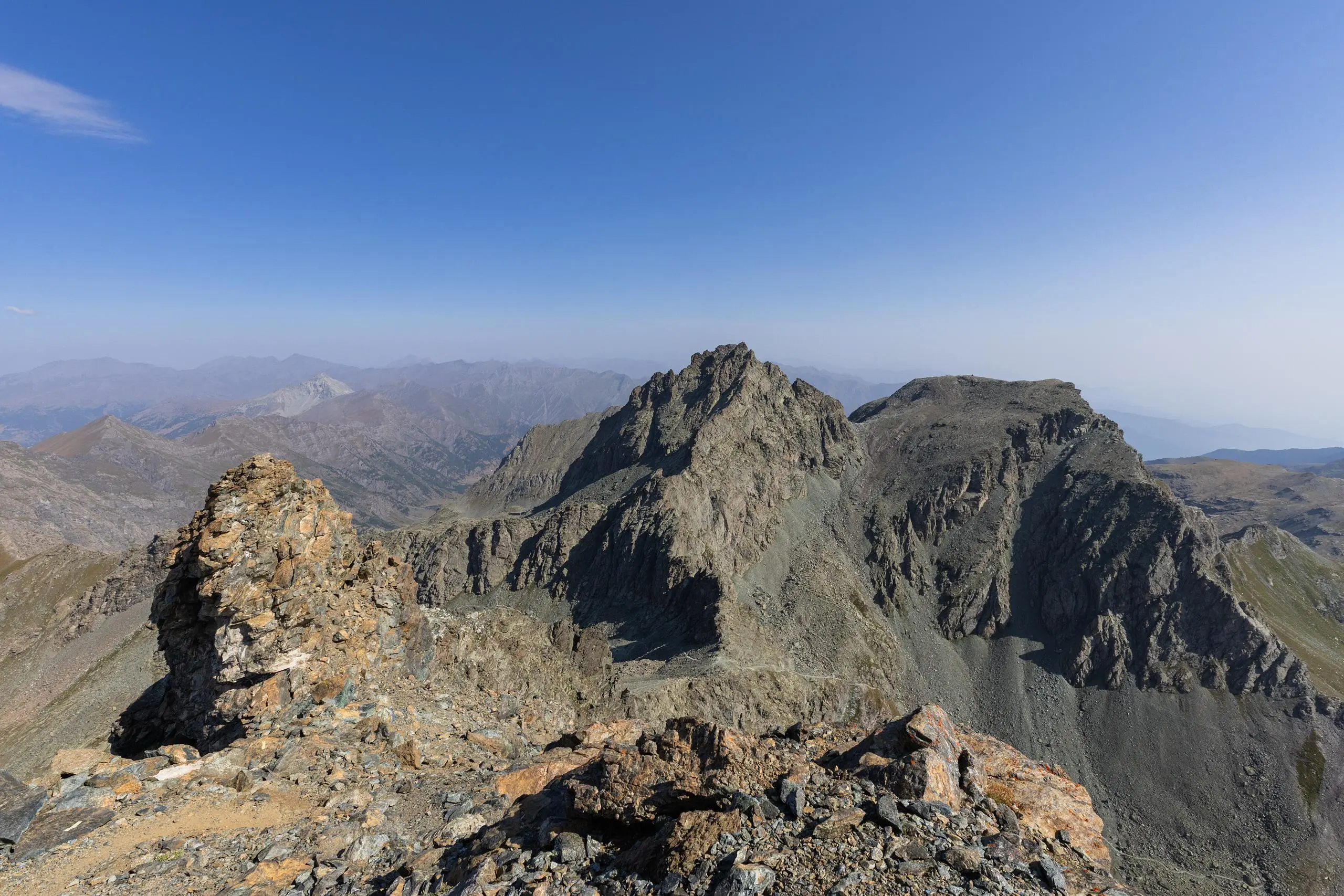
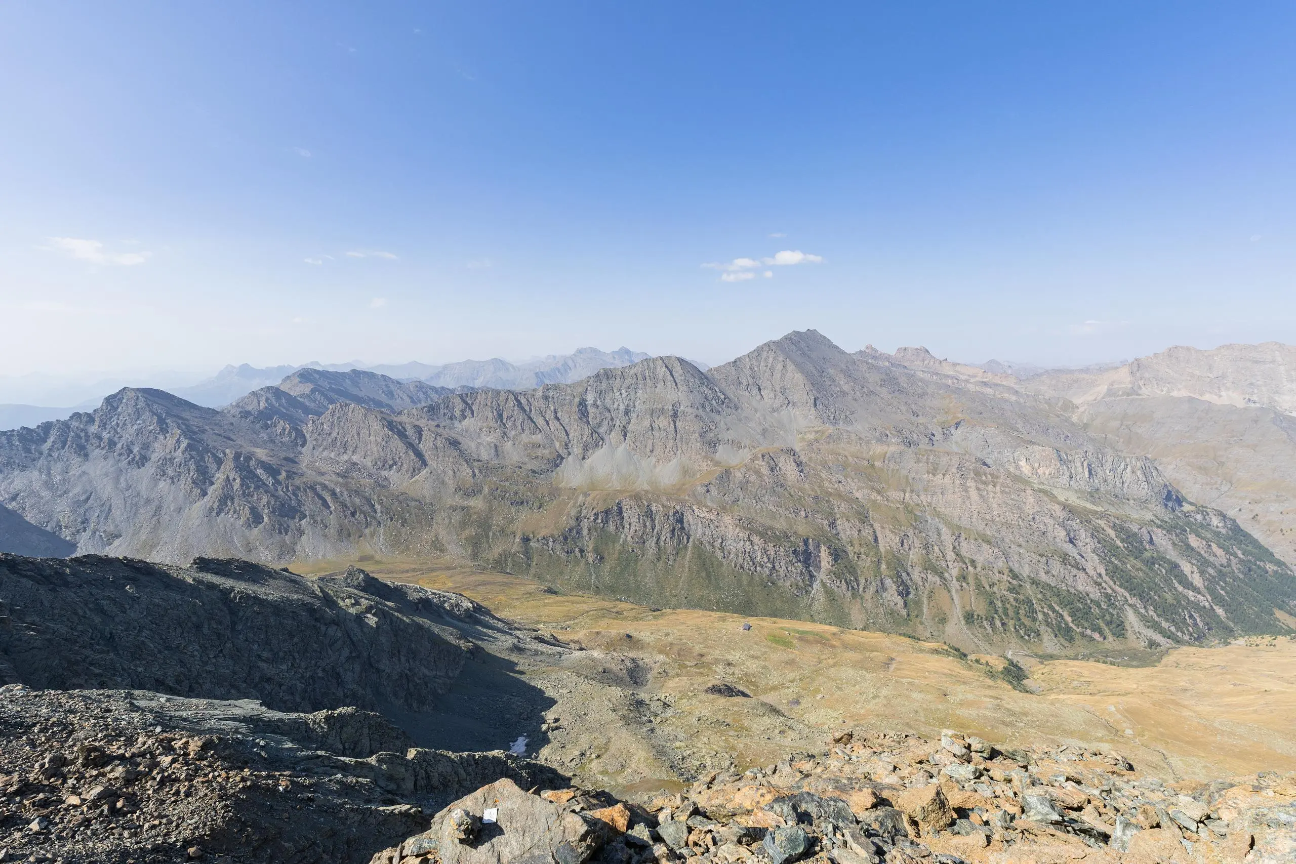
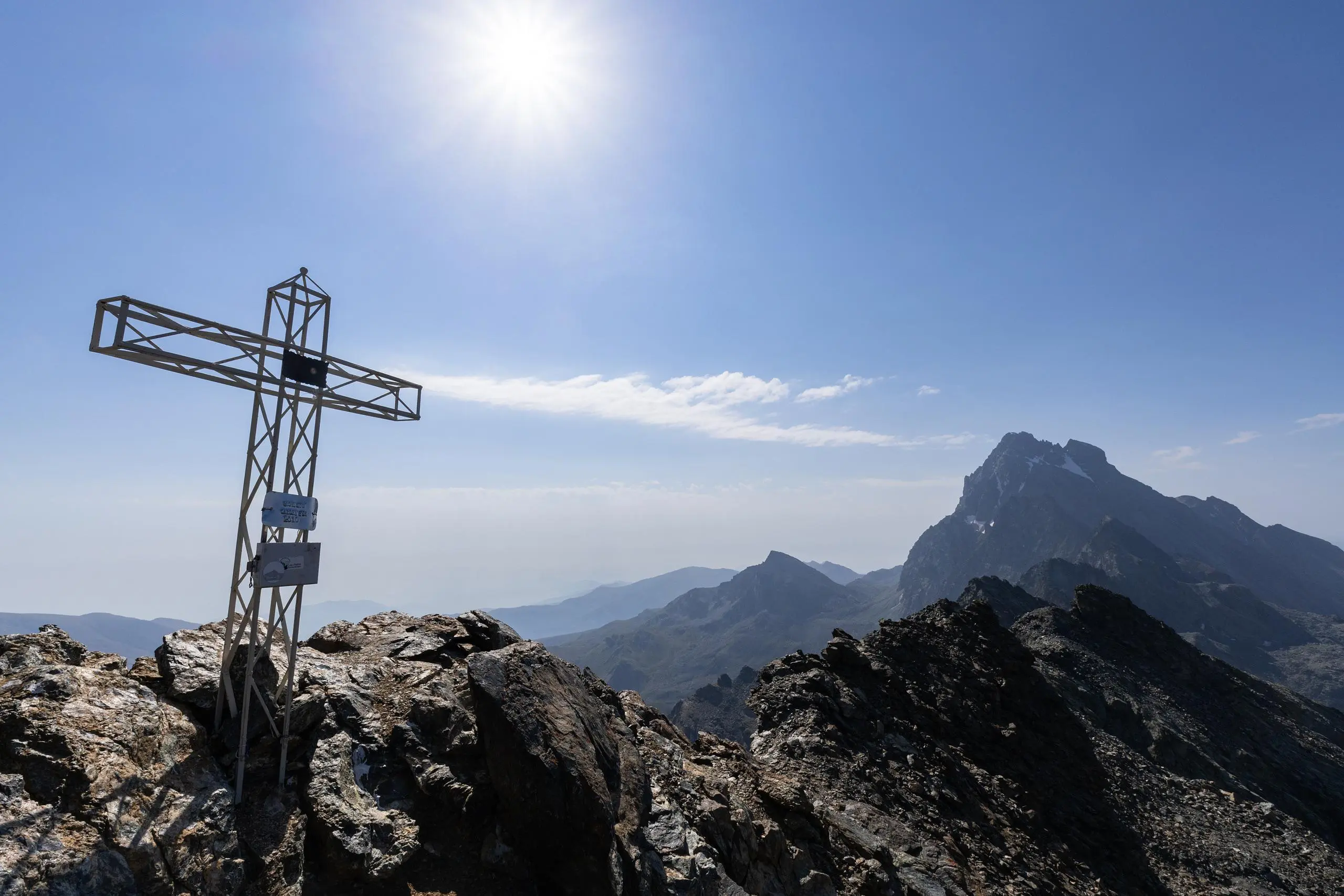
From the last parking lot, follow the signs up to the Viso refuge. Shortly before the refuge, turn left to follow the signs to the Tunnel de la Traversette. From the tunnel, you can climb up to the Pointe de Marte. Please note: to reach the pointe, you'll need to do a bit of climbing. It is therefore limited to seasoned hikers. Follow the same path back to the original parking lot. It is possible to turn right shortly before arriving to follow a pretty river.

(Description automatically translated)

Route profile

4806ft
Elevation gain
4777ft
Elevation loss
5889ft
Min altitude
10341ft
Max altitude

How to get there

Trailhead: 05460, Abriès-Ristolas, Hautes-Alpes, France

GPS coordinates of the trailhead: 44.73743, 6.99678 / 44°44'14'' N, 6°59'48'' E

Caution: May Cross Private Property

This route may pass through or near private property. Always respect posted signs, obtain permission where required, and follow local trespassing laws. MapPlanner does not guarantee public access along any route.

Safety Notice

Trail and road conditions may change without notice due to weather, construction, or other factors. Always verify current conditions before heading out. You are responsible for your own safety — follow local signage, obey traffic laws, and use your best judgment on the trail.