This hiking trail covers 6.578mi starting from La Chapelle-Saint-Maurice, Haute-Savoie. The hike is a loop trail and returns to the trailhead. This hike is rated as hard, plan for about 2h55m to complete it. The route has an elevation gain of 2887ft and an elevation loss of 2887ft.
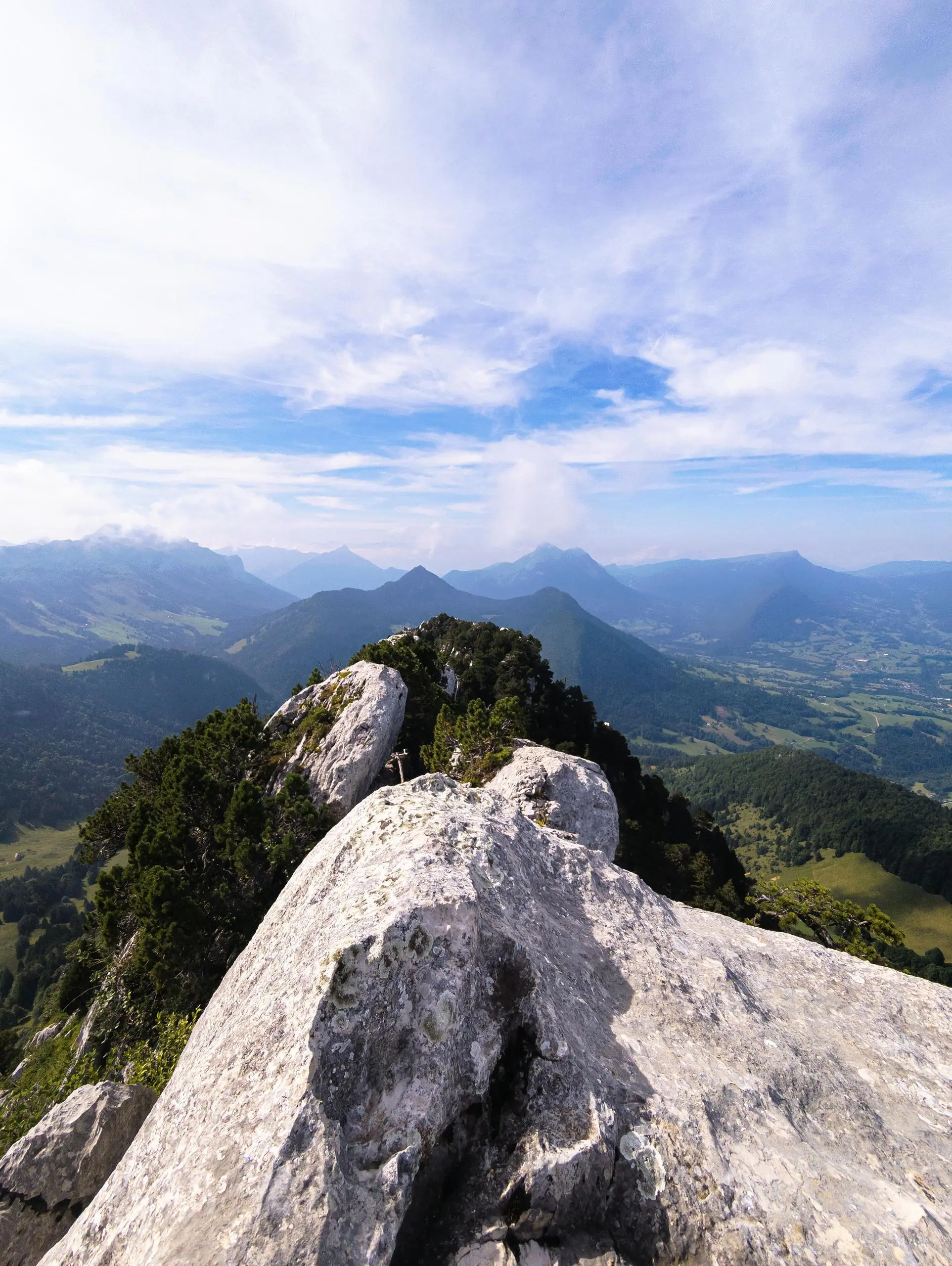
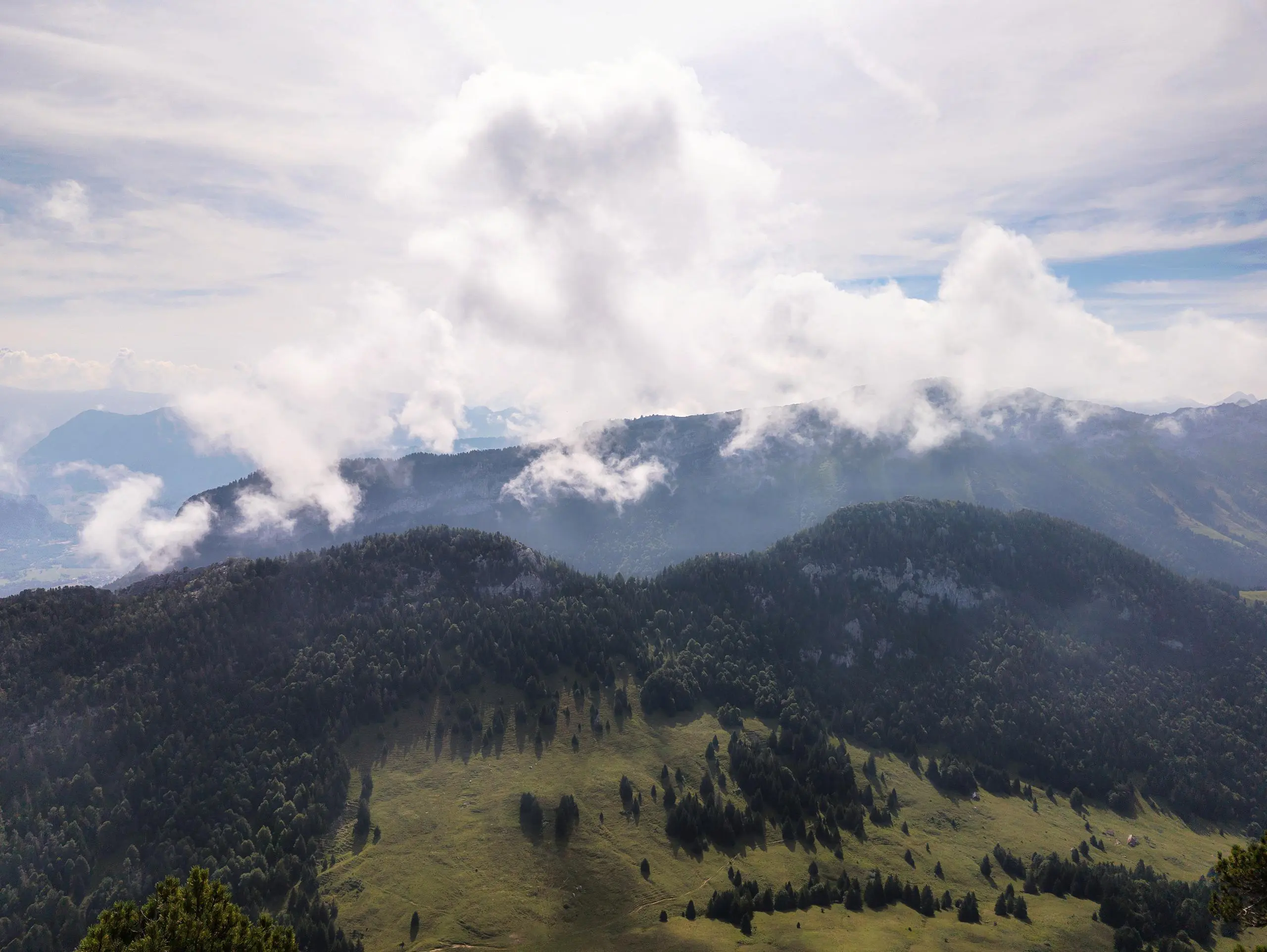
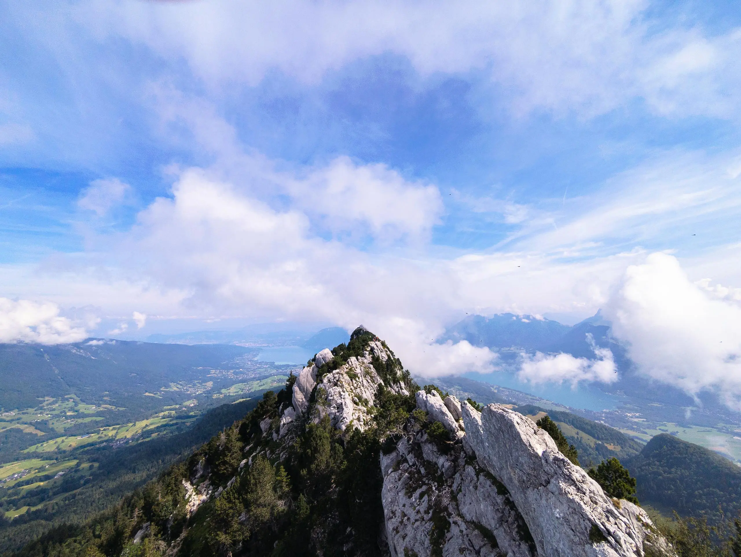
Roc des Boeufs depuis La Chapelle Saint-Maurice
Route details
2.26mph
Speed
1395 kcal
Calories burned
16.6%
Avg grade
Loop trail
Route type
3068ft
Min altitude
5650ft
Max altitude
Steep climb
Route profile
2887ft
Elevation gain
2887ft
Elevation loss
3068ft
Min altitude
5650ft
Max altitude
How to get there
Trailhead: D 10, 74410 La Chapelle-Saint-Maurice, France
GPS coordinates of the trailhead: 45.77899, 6.15014 / 45°46'44'' N, 6°9'0'' E


