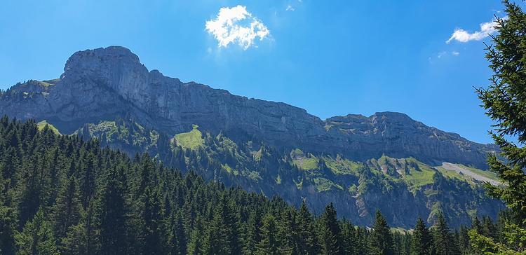
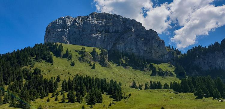
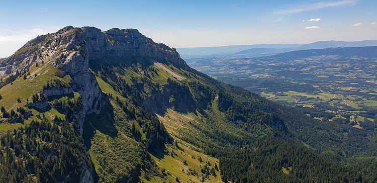
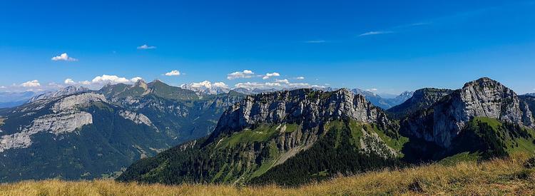
Explore this hiking route of 9.51km starting from La Roche-sur-Foron, Haute-Savoie. The hike is a loop and returns to the starting point. This hike is rated as difficult, plan for about 3h31m to complete it. The route has a positive elevation gain of 986m and a negative elevation loss of 962m.
Description of the route by the creator
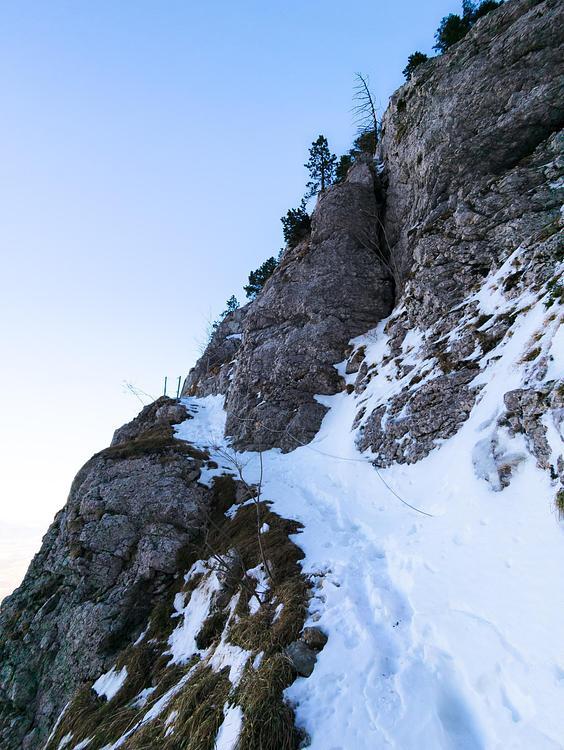
Park at the large parking lot Le Chesnet in the village of Orange. The path starts directly from the parking. First follow the signs to Chalet de Balme. Once you arrive at the Chalet, take the path to the right at the bottom of the cliff towards the Roche Parnal. At the end of the path, there is a more delicate passage. You have to use your hands to hold on along the small cliff for a few meters. Once at the top of the path, turn left to go directly to the top of the Roche Parnal. Take the path that goes down opposite the Roche Parnal to reach the Col du Freu. Then follow the signs to the Col de Cou. You can then go straight to the top of the Pointe de Sur Cou. Go down by the path on the left which goes back directly to the parking, while following the signs.
