This hiking trail covers 0.459mi starting from Chaumont, Haute-Savoie. The hike does not return to the trailhead and ends near Impasse Du Château De Thiollaz, 74270 Chaumont. This hike is rated as easy, plan for about 14m46s to complete it. The route has an elevation gain of 49ft and an elevation loss of 203ft.
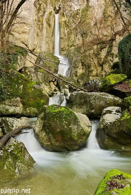
Cascades de Barbannaz
Route details
1.86mph
Speed
107 kcal
Calories burned
10.4%
Avg grade
Point to point
Route type
1276ft
Min altitude
1450ft
Max altitude
Steep climb
Route profile
49ft
Elevation gain
203ft
Elevation loss
1276ft
Min altitude
1450ft
Max altitude
How to get there
Trailhead: Route De La Cascade, 74270 Chaumont
GPS coordinates of the trailhead: 46.02814, 5.96569 / 46°1'41'' N, 5°57'56'' E


