MapPlanner
9.508mi
Distance
5h40m
Duration
+3409ft
Elevation gain
-3386ft
Elevation loss
Strenuous
Level

Visite du sommet d'Artzamendi

View to the sea from the Artzamendi mountain
View down the Artzamendi mountain
Semi-wild horses encountered during the ride

Route details

1.68mph
Speed
2649 kcal
Calories burned
13.5%
Avg grade
Loop trail
Route type
138ft
Min altitude
3002ft
Max altitude
Steep climb

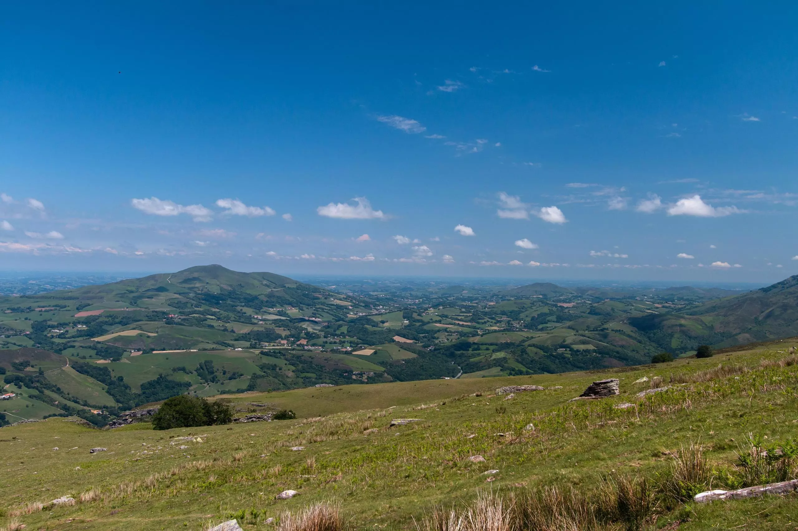
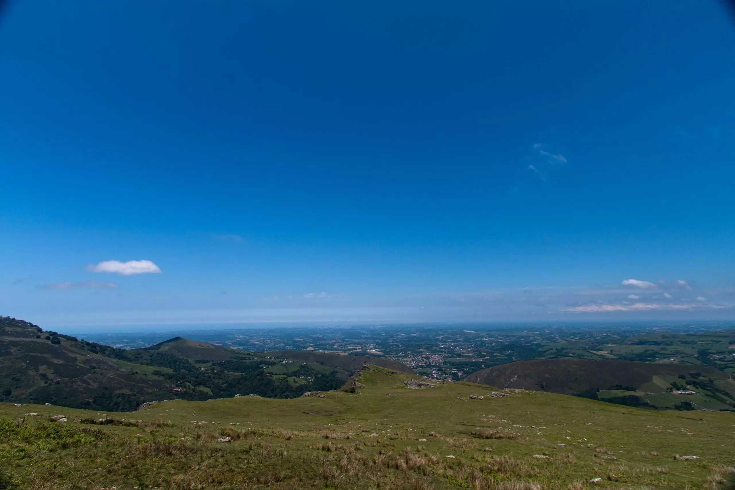
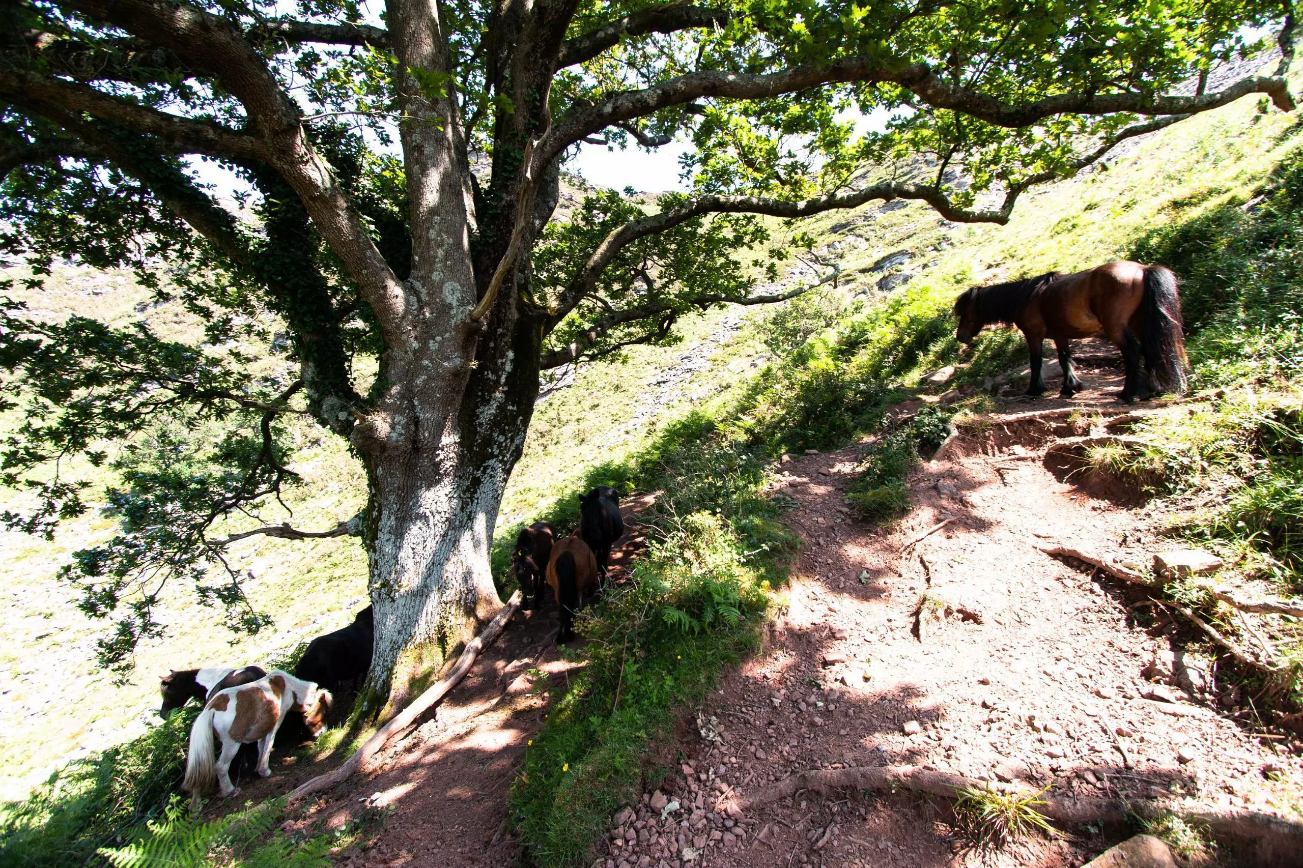
This hiking trail covers 9.508mi starting from Itxassou, Pyrénées-Atlantiques. The hike is a loop trail and returns to the trailhead. This hike is rated as strenuous, plan for about 5h40m to complete it. The route has an elevation gain of 3409ft and an elevation loss of 3386ft.

Description of the route by the creator

From the village of Itxassou, join the pas de Roland. Then turn left to follow the road that goes up to Mondarrain. In the hairpin bend, go straight on taking the path towards Spain. At the border, go up to the top of Artzamendi and then straight down to the Pas de Roland.

(Description automatically translated)

Route profile

3409ft
Elevation gain
3386ft
Elevation loss
138ft
Min altitude
3002ft
Max altitude

How to get there

Trailhead: 750 Elizako Bidea, 64250 Itxassou, France

GPS coordinates of the trailhead: 43.32714, -1.40444 / 43°19'37'' N, 1°24'15'' W

Caution: May Cross Private Property

This route may pass through or near private property. Always respect posted signs, obtain permission where required, and follow local trespassing laws. MapPlanner does not guarantee public access along any route.

Safety Notice

Trail and road conditions may change without notice due to weather, construction, or other factors. Always verify current conditions before heading out. You are responsible for your own safety — follow local signage, obey traffic laws, and use your best judgment on the trail.