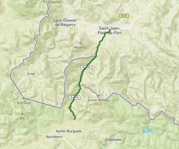
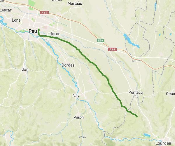
This hiking trail covers 9.97mi starting from Saint-Étienne-de-Baïgorry, Pyrénées-Atlantiques. The hike does not return to the trailhead and ends near 39 Place De La Gare, 64220 Saint-Jean-Pied-de-Port, France. This hike is rated as strenuous, plan for about 4h7m to complete it. The route has an elevation gain of 1148ft and an elevation loss of 1913ft.
Sjpdp1
Route details
2.42mph
Speed
1792 kcal
Calories burned
5.8%
Avg grade
Point to point
Route type
512ft
Min altitude
1276ft
Max altitude
Route profile
1148ft
Elevation gain
1913ft
Elevation loss
512ft
Min altitude
1276ft
Max altitude
How to get there
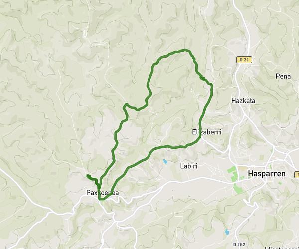
Trailhead: 335 Idiarteko Bordako Bidea, 64430 Saint-Étienne-de-Baïgorry, France
GPS coordinates of the trailhead: 43.158438, -1.349243 / 43°9'30'' N, 1°20'57'' W