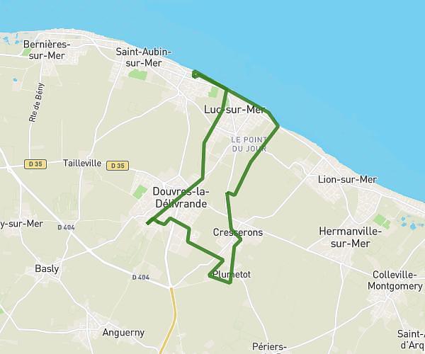
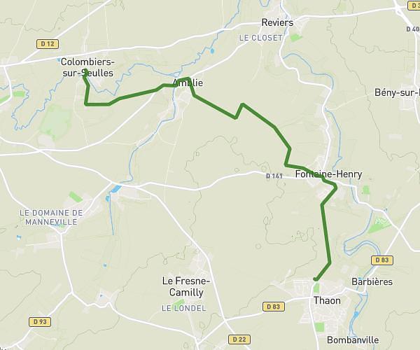
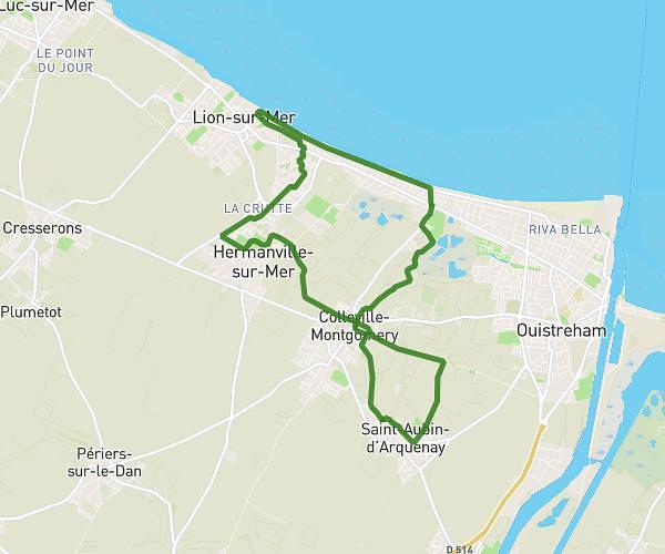
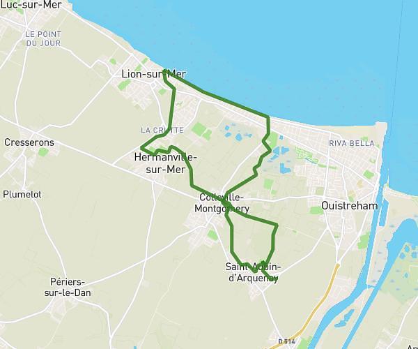
This hiking trail covers 10.102mi starting from Le Fresne-Camilly, Calvados. The hike does not return to the trailhead and ends near 3 Chemin Aux Prêtres, 14480 Le Fresne-Camilly, France. This hike is rated as moderate, plan for about 4h3m to complete it. The route has an elevation gain of 505ft and an elevation loss of 492ft.
Le fresne camilly
Route details
2.49mph
Speed
1734 kcal
Calories burned
1.9%
Avg grade
Point to point
Route type
62ft
Min altitude
197ft
Max altitude
Route profile
505ft
Elevation gain
492ft
Elevation loss
62ft
Min altitude
197ft
Max altitude
How to get there
Trailhead: 13 Rue De L'église, 14480 Le Fresne-Camilly, France
GPS coordinates of the trailhead: 49.26084, -0.48694 / 49°15'39'' N, 0°29'12'' W