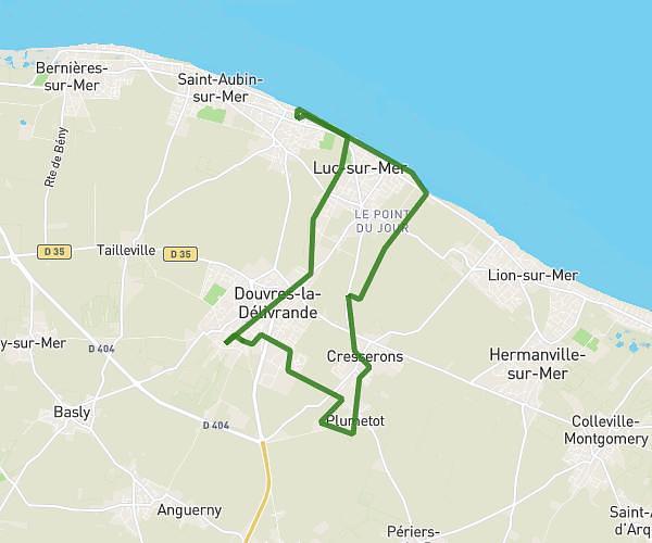
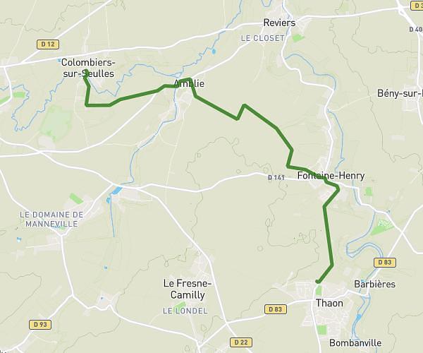
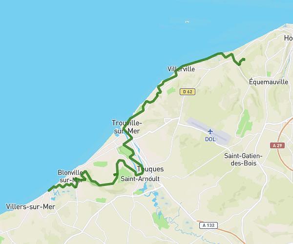
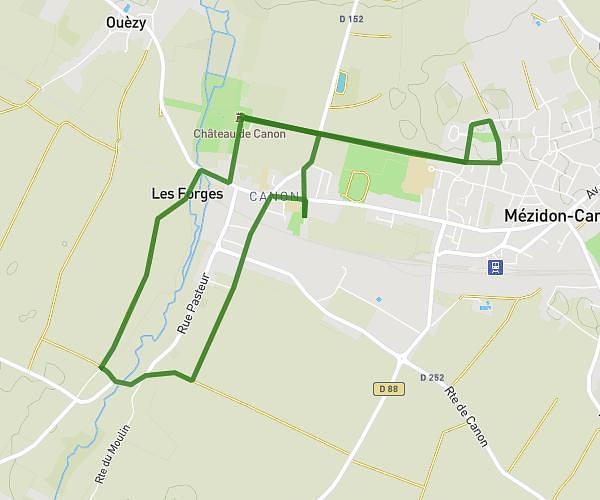
This hiking trail covers 9.774mi starting from Saint-Aubin-d'Arquenay, Calvados. The hike is a loop trail and returns to the trailhead. This hike is rated as easy, plan for about 3h55m to complete it. The route has an elevation gain of 276ft and an elevation loss of 276ft.
rando zen
Route details
2.49mph
Speed
1666 kcal
Calories burned
1.1%
Avg grade
Loop trail
Route type
-3ft
Min altitude
108ft
Max altitude
Route profile
276ft
Elevation gain
276ft
Elevation loss
-3ft
Min altitude
108ft
Max altitude
How to get there
Trailhead: 24 Chemin Des Campagnes, 14970 Saint-Aubin-d'Arquenay, France
GPS coordinates of the trailhead: 49.26421, -0.28387 / 49°15'51'' N, 0°17'1'' W