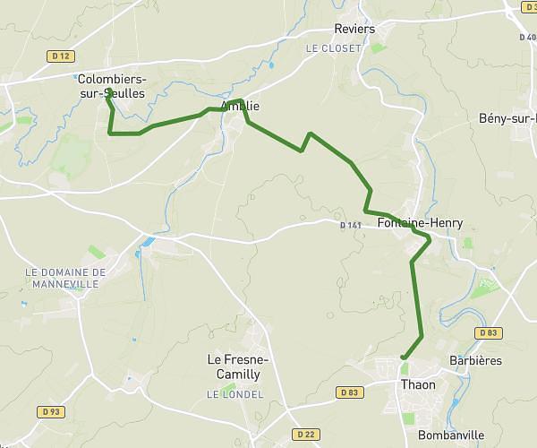
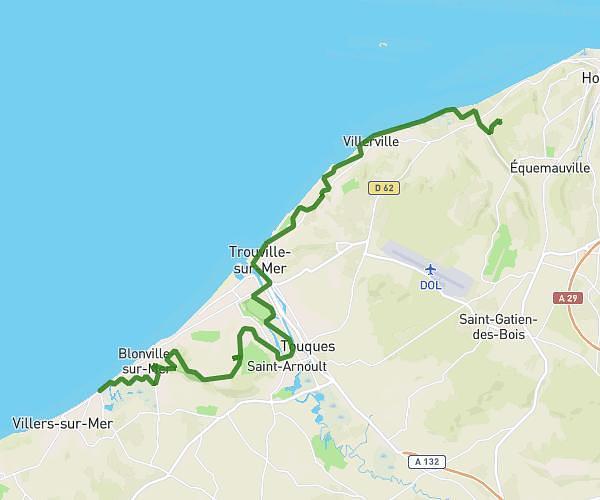
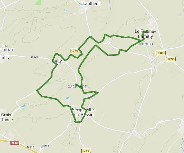
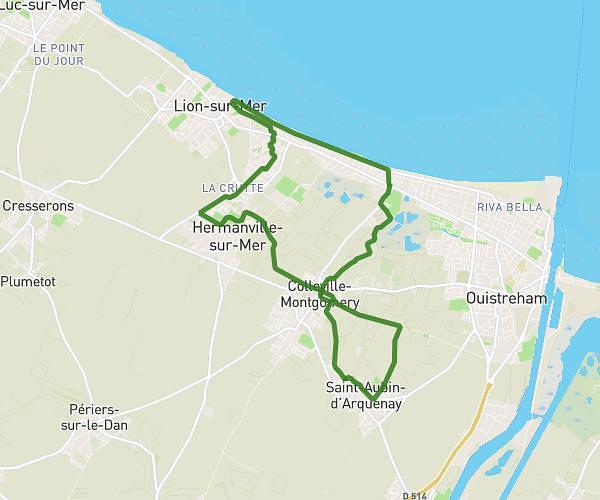
This hiking trail covers 11.423mi starting from Douvres-la-Délivrande, Calvados. The hike is a loop trail and returns to the trailhead. This hike is rated as moderate, plan for about 3h53m to complete it. The route has an elevation gain of 364ft and an elevation loss of 364ft.
DOUVRES LA DELIVRANDE 29 MARS
Route details
2.94mph
Speed
1647 kcal
Calories burned
1.2%
Avg grade
Loop trail
Route type
0ft
Min altitude
171ft
Max altitude
Route profile
364ft
Elevation gain
364ft
Elevation loss
0ft
Min altitude
171ft
Max altitude
How to get there
Trailhead: 2 Rue Du Presbytère, 14440 Douvres-la-Délivrande, France
GPS coordinates of the trailhead: 49.290537, -0.383415 / 49°17'25'' N, 0°23'0'' W