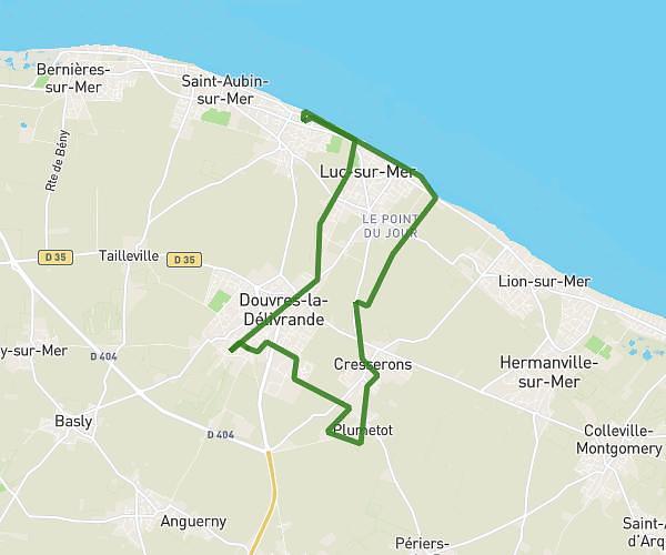
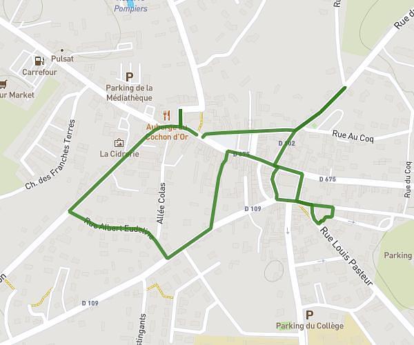
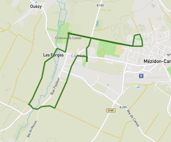
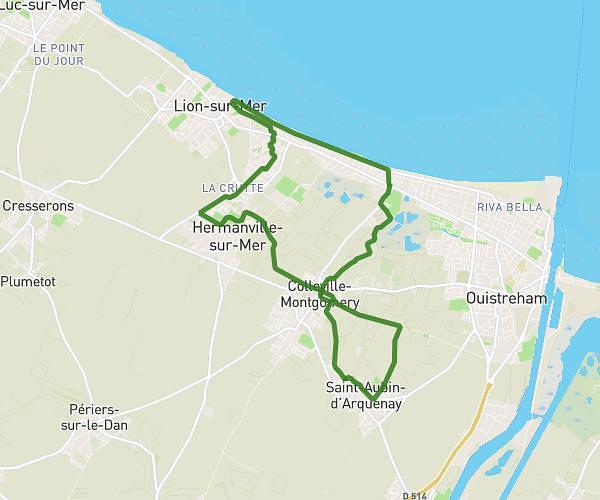
This hiking trail covers 18.152mi starting from Villers-sur-Mer, Calvados. The hike does not return to the trailhead and ends near 540 Route De Honfleur, 14600 Pennedepie, France. This hike is rated as hard, plan for about 5h50m to complete it. The route has an elevation gain of 1355ft and an elevation loss of 991ft.
Piron Villers- trouville
Route details
3.11mph
Speed
2512 kcal
Calories burned
2.4%
Avg grade
Point to point
Route type
0ft
Min altitude
390ft
Max altitude
Route profile
1355ft
Elevation gain
991ft
Elevation loss
0ft
Min altitude
390ft
Max altitude
How to get there
Trailhead: 102 Avenue De La République, 14640 Villers-sur-Mer, France
GPS coordinates of the trailhead: 49.330739, 0.011002 / 49°19'50'' N, 0°0'39'' E