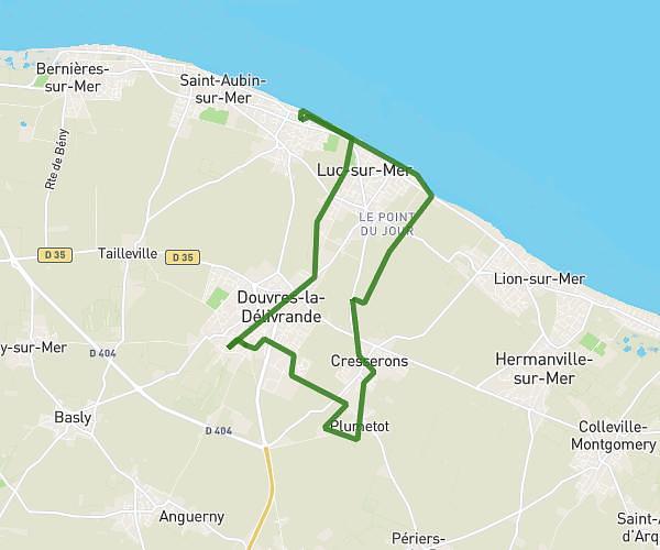
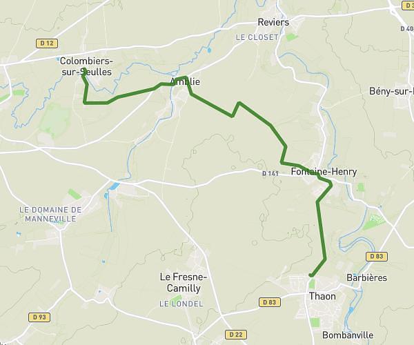
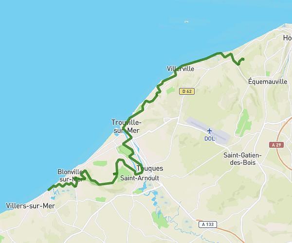
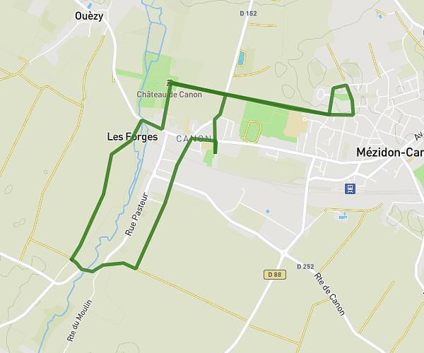
This hiking trail covers 9.895mi starting from Saint-Aubin-d'Arquenay, Calvados. The hike does not return to the trailhead and ends near Chemin De La Maladrerie, 14970 Saint-Aubin-d'Arquenay, France. This hike is rated as easy, plan for about 3h58m to complete it. The route has an elevation gain of 272ft and an elevation loss of 259ft.
saint d'arquenay
Route details
2.49mph
Speed
1686 kcal
Calories burned
1.0%
Avg grade
Point to point
Route type
-7ft
Min altitude
118ft
Max altitude
Route profile
272ft
Elevation gain
259ft
Elevation loss
-7ft
Min altitude
118ft
Max altitude
How to get there
Trailhead: 7 Chemin Des Campagnes, 14970 Saint-Aubin-d'Arquenay, France
GPS coordinates of the trailhead: 49.26442, -0.28374 / 49°15'51'' N, 0°17'1'' W