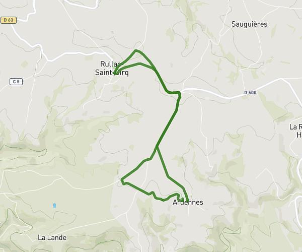
This running route covers 4.365mi starting from Mirandol-Bourgnounac, Tarn. The run does not return to the trailhead and ends near 14 Place Du Foirail, 81190 Mirandol-Bourgnounac, France. This run is rated as easy, expect about 52m40s to complete it. The route has an elevation gain of 522ft and an elevation loss of 16ft.
fv 2026
Route details
4.97mph
Speed
602 kcal
Calories burned
Point to point
Route type
797ft
Min altitude
1319ft
Max altitude
Route profile
522ft
Elevation gain
16ft
Elevation loss
797ft
Min altitude
1319ft
Max altitude
How to get there
Trailhead: D 905, 81190 Mirandol-Bourgnounac, France
GPS coordinates of the trailhead: 44.161892, 2.196351 / 44°9'42'' N, 2°11'46'' E