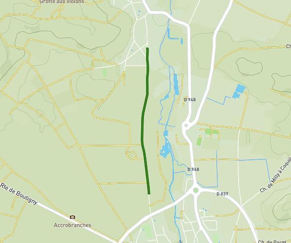
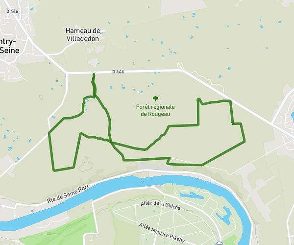
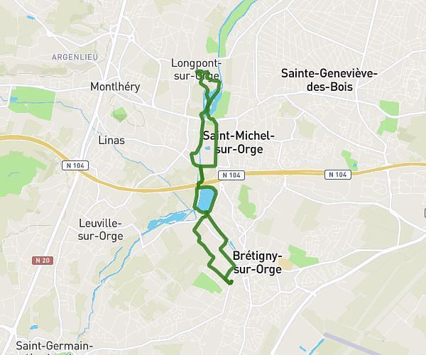
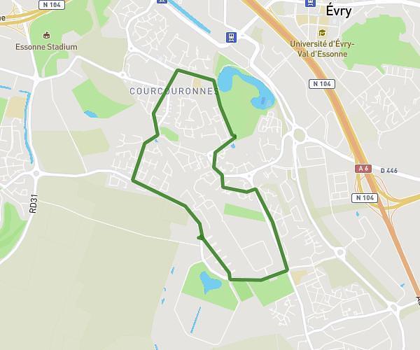
This hiking trail covers 5.244mi starting from Saint-Chéron, Essonne. The hike is a loop trail and returns to the trailhead. This hike is rated as moderate, plan for about 1h50m to complete it. The route has an elevation gain of 699ft and an elevation loss of 702ft.
St-Chéron (91)
Route details
2.86mph
Speed
802 kcal
Calories burned
5.1%
Avg grade
Loop trail
Route type
220ft
Min altitude
505ft
Max altitude
Route profile
699ft
Elevation gain
702ft
Elevation loss
220ft
Min altitude
505ft
Max altitude
How to get there
Trailhead: 14 Rue De Chantropin, 91530 Saint-Chéron, France
GPS coordinates of the trailhead: 48.54721, 2.12717 / 48°32'49'' N, 2°7'37'' E