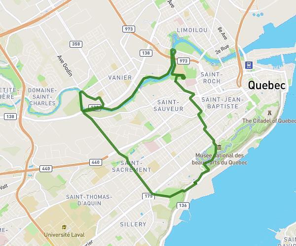
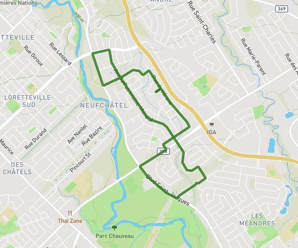
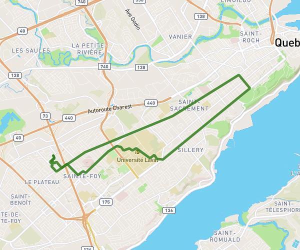
This running route covers 18.638mi starting from Lévis, Quebec. The run does not return to the trailhead and ends near Rue Commerciale, G0R 3E0 Saint-Henri-de-Lévis. This run is rated as strenuous, expect about 2h29m to complete it. The route has an elevation gain of 308ft and an elevation loss of 0ft.
Partie 1
Route details
7.46mph
Speed
1715 kcal
Calories burned
Point to point
Route type
-16ft
Min altitude
292ft
Max altitude
Route profile
308ft
Elevation gain
0ft
Elevation loss
-16ft
Min altitude
292ft
Max altitude
How to get there
Trailhead: Rue Thomas-Chapais, G6W 0G4 Lévis
GPS coordinates of the trailhead: 46.77971, -71.17278 / 46°46'46'' N, 71°10'22'' W