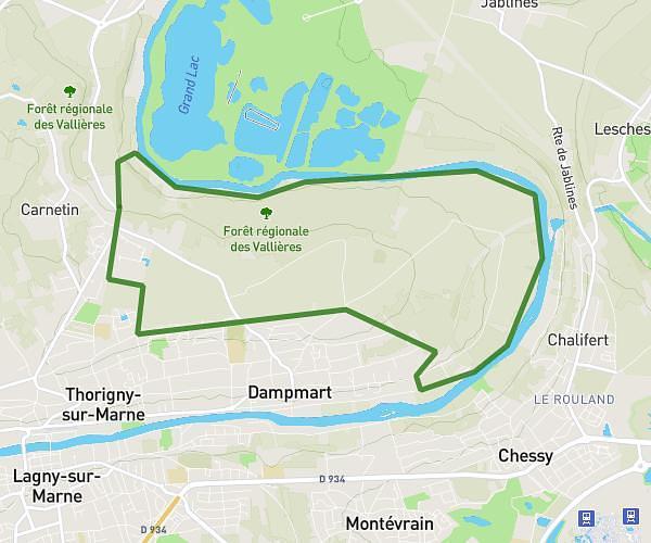
This hiking trail covers 2.564mi starting from Paris, Paris. The hike does not return to the trailhead and ends near 3 Avenue Daumesnil, 75012 Paris, France. This hike is rated as easy, plan for about 1h22m to complete it. The route has an elevation gain of 98ft and an elevation loss of 98ft.
Bercy
Route details
1.86mph
Speed
585 kcal
Calories burned
1.5%
Avg grade
Point to point
Route type
131ft
Min altitude
151ft
Max altitude
Route profile
98ft
Elevation gain
98ft
Elevation loss
131ft
Min altitude
151ft
Max altitude
How to get there
Trailhead: 3 Place De La Bastille, 75004 Paris, France
GPS coordinates of the trailhead: 48.85311, 2.36885 / 48°51'11'' N, 2°22'7'' E