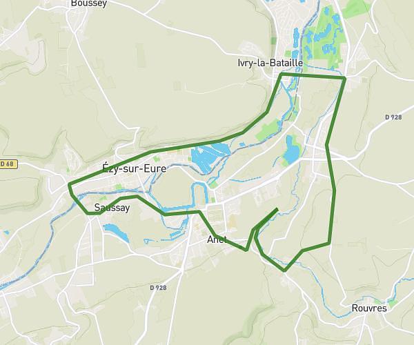
This running route covers 14.534mi starting from Vernon, Eure. The run does not return to the trailhead and ends near 16 Rue De Normandie, 27200 Vernon, France. This run is rated as strenuous, expect about 2h5s to complete it. The route has an elevation gain of 33ft and an elevation loss of 863ft.
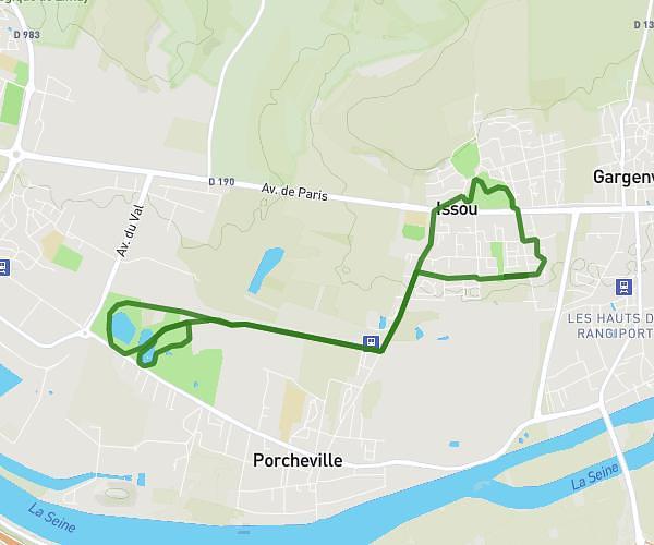
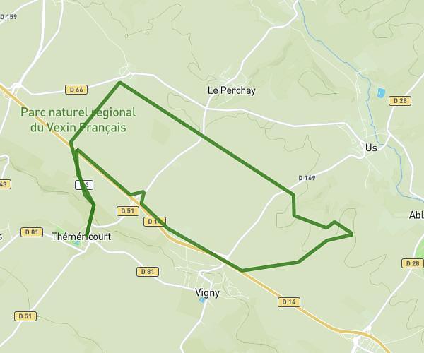
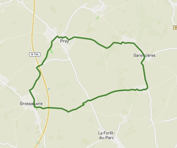
Pressagny Panilleuse
Route details
7.26mph
Speed
1373 kcal
Calories burned
Point to point
Route type
46ft
Min altitude
906ft
Max altitude
Route profile
33ft
Elevation gain
863ft
Elevation loss
46ft
Min altitude
906ft
Max altitude
How to get there
Trailhead: 21 Mail Anatole France, 27200 Vernon, France
GPS coordinates of the trailhead: 49.09531, 1.49195 / 49°5'43'' N, 1°29'31'' E