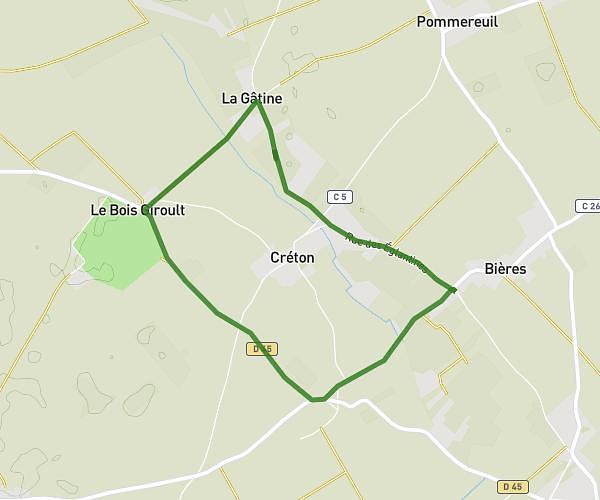
This running route covers 9.403mi starting from La Forêt-du-Parc, Eure. The run is a loop trail and returns to the trailhead. This run is rated as hard, expect about 1h41m to complete it. The route has an elevation gain of 246ft and an elevation loss of 243ft.
Tour de Garancières, Prey et Grossoeuvre
Route details
5.59mph
Speed
1155 kcal
Calories burned
Loop trail
Route type
446ft
Min altitude
505ft
Max altitude
Route profile
246ft
Elevation gain
243ft
Elevation loss
446ft
Min altitude
505ft
Max altitude
How to get there
Trailhead: 7 Route De Longtouche, 27220 La Forêt-du-Parc, France
GPS coordinates of the trailhead: 48.9371, 1.22909 / 48°56'13'' N, 1°13'44'' E