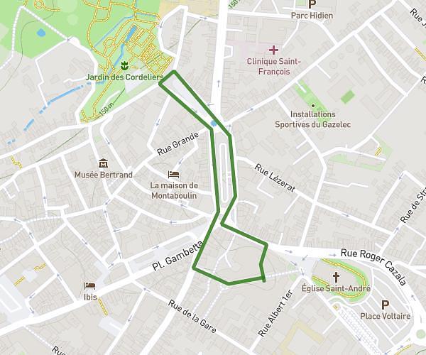
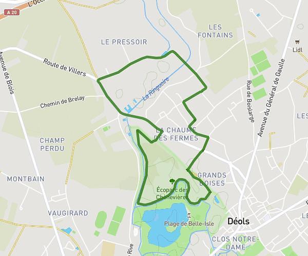
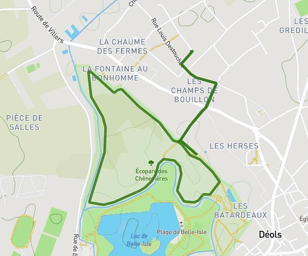
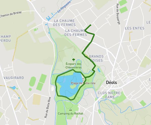
This running route covers 7.429mi starting from Issoudun, Indre. The run is a loop trail and returns to the trailhead. This run is rated as moderate, expect about 1h19m to complete it. The route has an elevation gain of 351ft and an elevation loss of 351ft.
Description of the route by the creator
Warm-up (2-3 km) : Start very slowly for 1.5-2 km at a light pace Include a few gradual accelerations of 100-200m to prepare the legs. Body (12-16 km): Adopt an endurance pace between 65-75% of your maximum aerobic speed For an intermediate runner, this represents around 10-12 km/h Try to keep as steady a pace as possible throughout the run. Possibility of slowing down very slightly if you feel tired at the end of the outing. Effort management : Start slowly for the first 2-3 km below the target pace to warm up. Then gradually build up to your target endurance pace Rehydrate regularly in small sips Possibly add a small snack (dried fruit, jelly) around the halfway point. Cool down (1-2 km): Finish with 1-2 km of very light trotting to come back down in rhythm. Stretching, with particular emphasis on hamstrings This long outing at a controlled pace provides an opportunity to work on strengthening the aerobic base and specific endurance. The aim is to gradually increase distances in this moderate endurance zone in preparation for the marathon.