MapPlanner
4.53mi
Distance
41m39s
Duration
9:12/mi
Pace
Easy
Level

6-8 Kms

Route details

6.52mph
Speed
476 kcal
Calories burned
Loop trail
Route type
407ft
Min altitude
469ft
Max altitude

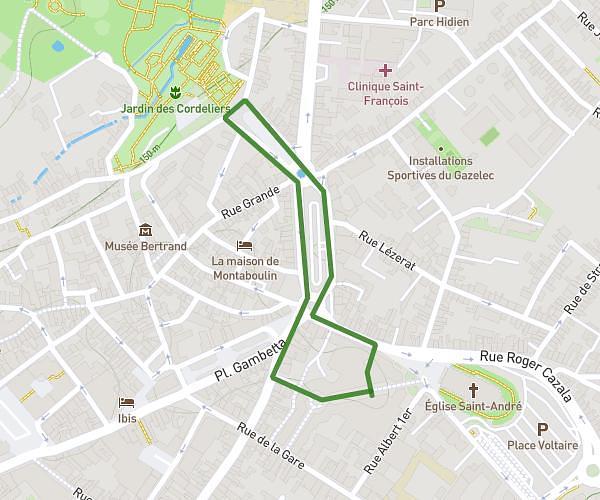
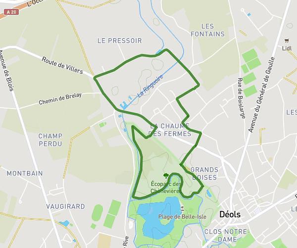
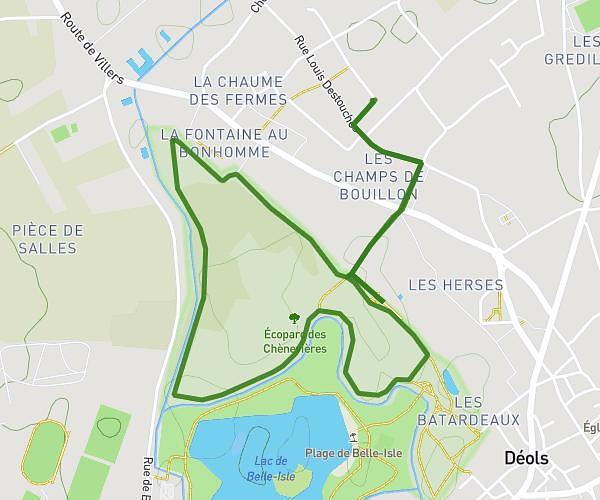
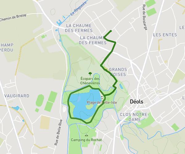
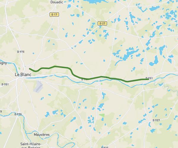
This running route covers 4.53mi starting from Issoudun, Indre. The run is a loop trail and returns to the trailhead. This run is rated as easy, expect about 41m39s to complete it. The route has an elevation gain of 197ft and an elevation loss of 197ft.

Description of the route by the creator

Route to fraspel hypotep for 6 to 8 kilometers, possibility to do the loop of the rugby stadium to lengthen.

(Description automatically translated)

Route profile

197ft
Elevation gain
197ft
Elevation loss
407ft
Min altitude
469ft
Max altitude

How to get there

Trailhead: Place Du Sacré-Cœur, 36100 Issoudun

GPS coordinates of the trailhead: 46.95047, 1.99489 / 46°57'1'' N, 1°59'41'' E

Caution: May Cross Private Property

This route may pass through or near private property. Always respect posted signs, obtain permission where required, and follow local trespassing laws. MapPlanner does not guarantee public access along any route.

Safety Notice

Trail and road conditions may change without notice due to weather, construction, or other factors. Always verify current conditions before heading out. You are responsible for your own safety — follow local signage, obey traffic laws, and use your best judgment on the trail.