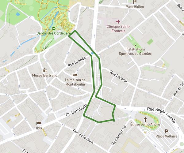
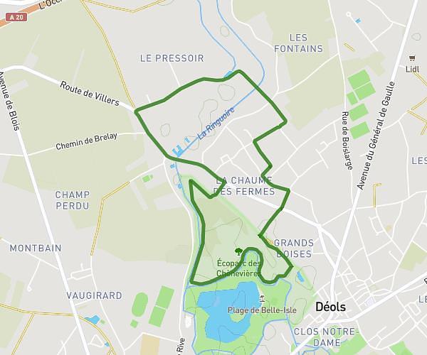
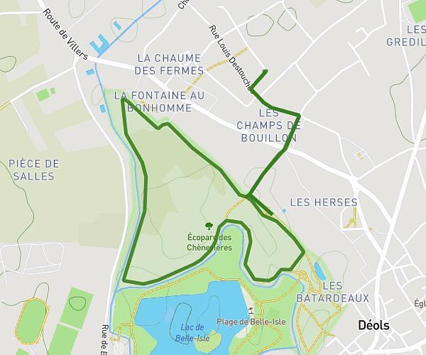
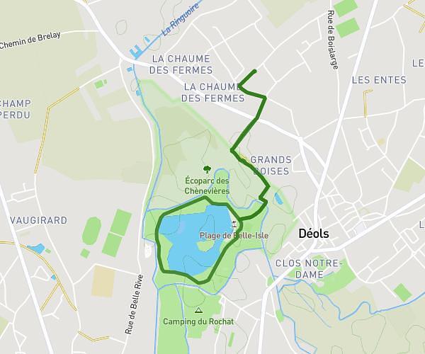
This running route covers 5.939mi starting from Issoudun, Indre. The run is a loop trail and returns to the trailhead. This run is rated as easy, expect about 57m20s to complete it. The route has an elevation gain of 292ft and an elevation loss of 292ft.
Description of the route by the creator
Warm-up (1.5-2 km) : Start very slowly for 1 km at a light pace Follow with a few gradual accelerations over 100-150m to prepare the legs. Body (8-10 km): Adopt an endurance pace between 65-75% of your maximum pace. For an intermediate runner, this represents around 10-12 km/h Maintain a steady pace throughout the session at this controlled pace Be able to hold a conversation without too much difficulty breathing. Effort management : Warm up for the first few kilometers at a pace slightly below the target pace. Then, stabilize the pace at 65-75% max. Possibility of accelerating slightly over the last few km if the body allows it Cool-down (1-1.5 km): End with 1 km of very light trotting to cool down End with stretching The aim is to develop the ability to sustain an endurance effort at a moderate pace over a medium distance - a basic aerobic session to lay the foundations for subsequent stages.