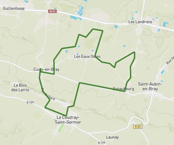
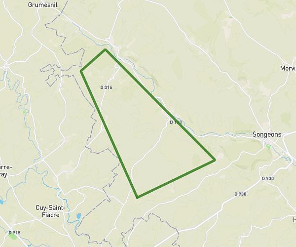
This running route covers 10.186mi starting from Hautbos, Oise. The run is a loop trail and returns to the trailhead. This run is rated as hard, expect about 1h38m to complete it. The route has an elevation gain of 62ft and an elevation loss of 66ft.
Hautbos Feuquieres
Route details
6.24mph
Speed
1120 kcal
Calories burned
Loop trail
Route type
604ft
Min altitude
669ft
Max altitude
Route profile
62ft
Elevation gain
66ft
Elevation loss
604ft
Min altitude
669ft
Max altitude
How to get there
Trailhead: Rue De Thérines, 60210 Hautbos
GPS coordinates of the trailhead: 49.6278, 1.87071 / 49°37'40'' N, 1°52'14'' E