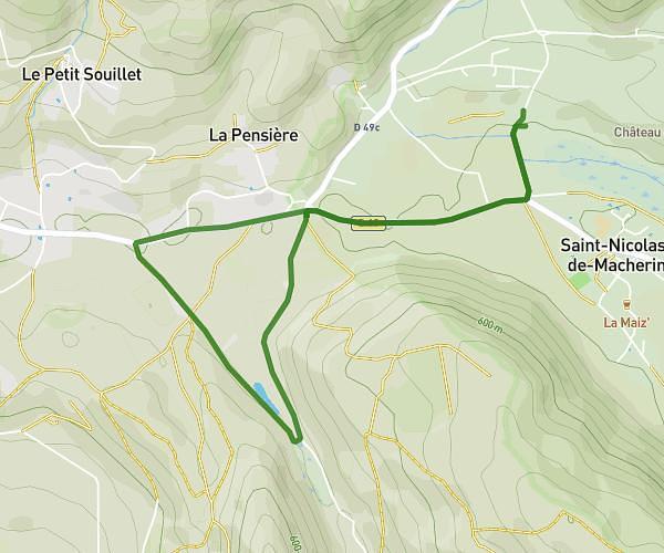
This running route covers 5.045mi starting from Les Abrets en Dauphiné, Isère. The run is a loop trail and returns to the trailhead. This run is rated as moderate, expect about 1h20m to complete it. The route has an elevation gain of 656ft and an elevation loss of 659ft.
Itinéraire papou
Route details
3.78mph
Speed
915 kcal
Calories burned
Loop trail
Route type
925ft
Min altitude
1253ft
Max altitude
Route profile
656ft
Elevation gain
659ft
Elevation loss
925ft
Min altitude
1253ft
Max altitude
How to get there
Trailhead: 385 Route Du Stade, 38490 Les Abrets en Dauphiné, France
GPS coordinates of the trailhead: 45.54845, 5.57282 / 45°32'54'' N, 5°34'22'' E