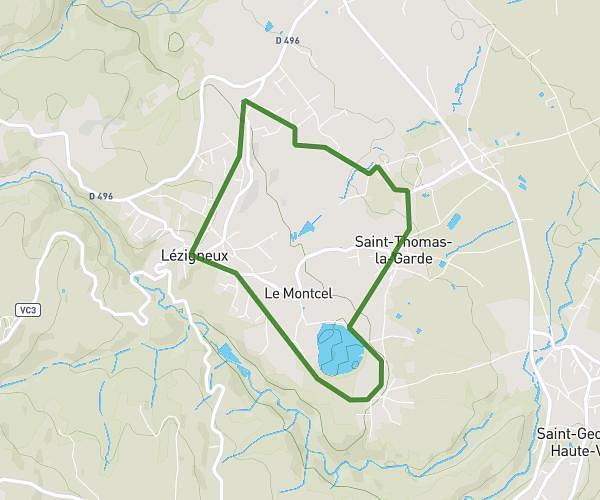
This walking route covers 3.829mi starting from Bellegarde-en-Forez, Loire. The walk does not return to the trailhead and ends near 369 Chemin De La Tuillière, 42210 Bellegarde-en-Forez, France. This walk is rated as moderate, plan for about 1h to complete it. The route has an elevation gain of 499ft and an elevation loss of 387ft.
Balade Le Claveau
Route details
15:41/mi
Pace
245 kcal
Calories burned
Point to point
Route type
1293ft
Min altitude
1762ft
Max altitude
Route profile
499ft
Elevation gain
387ft
Elevation loss
1293ft
Min altitude
1762ft
Max altitude
How to get there
Trailhead: 896 Route De Saint-Galmier, 42210 Bellegarde-en-Forez, France
GPS coordinates of the trailhead: 45.63477, 4.30144 / 45°38'5'' N, 4°18'5'' E