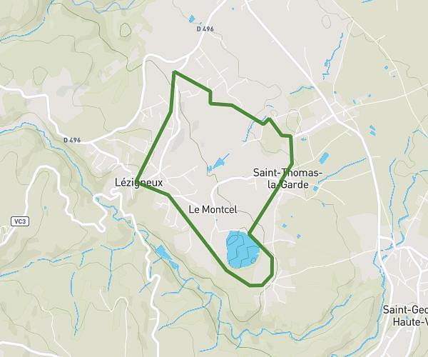
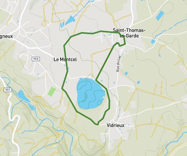
This walking route covers 3.239mi starting from Bellegarde-en-Forez, Loire. The walk is a loop trail and returns to the trailhead. This walk is rated as moderate, plan for about 1h10m to complete it. The route has an elevation gain of 105ft and an elevation loss of 105ft.
Petite balade plaine
Route details
21:36/mi
Pace
286 kcal
Calories burned
Loop trail
Route type
1234ft
Min altitude
1309ft
Max altitude
Route profile
105ft
Elevation gain
105ft
Elevation loss
1234ft
Min altitude
1309ft
Max altitude
How to get there
Trailhead: 896 Route De Saint-Galmier, 42210 Bellegarde-en-Forez, France
GPS coordinates of the trailhead: 45.63484, 4.30136 / 45°38'5'' N, 4°18'4'' E