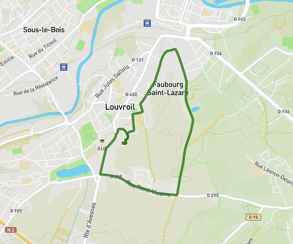
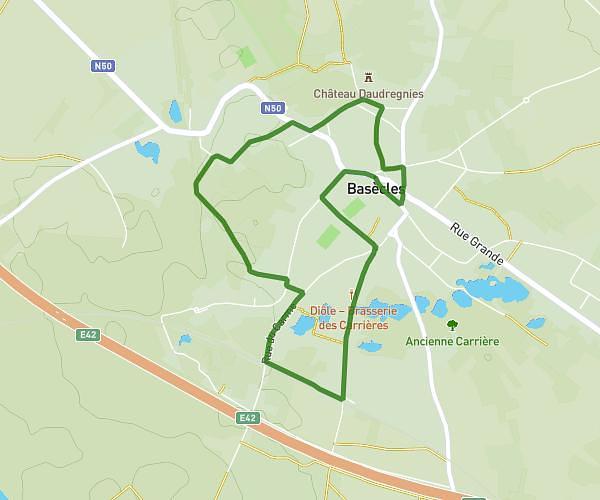
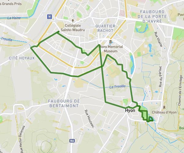
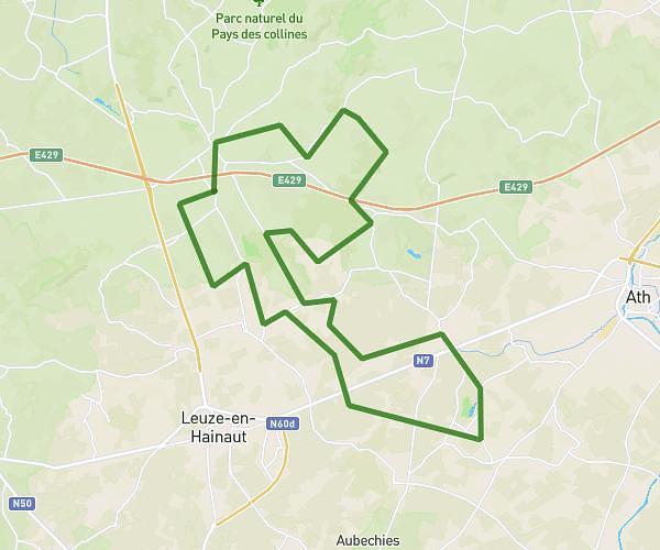
This hiking trail covers 4.169mi starting from Saint-Ghislain, Hainaut. The hike is a loop trail and returns to the trailhead. This hike is rated as easy, plan for about 30m to complete it. The route has an elevation gain of 276ft and an elevation loss of 279ft.
Baudour 22/09 6.7 km
Route details
8.34mph
Speed
214 kcal
Calories burned
2.5%
Avg grade
Loop trail
Route type
148ft
Min altitude
295ft
Max altitude
Route profile
276ft
Elevation gain
279ft
Elevation loss
148ft
Min altitude
295ft
Max altitude
How to get there
Trailhead: Rue De La Forêt, 7331 Saint-Ghislain, Hainaut, Belgium
GPS coordinates of the trailhead: 50.48655, 3.84251 / 50°29'11'' N, 3°50'33'' E