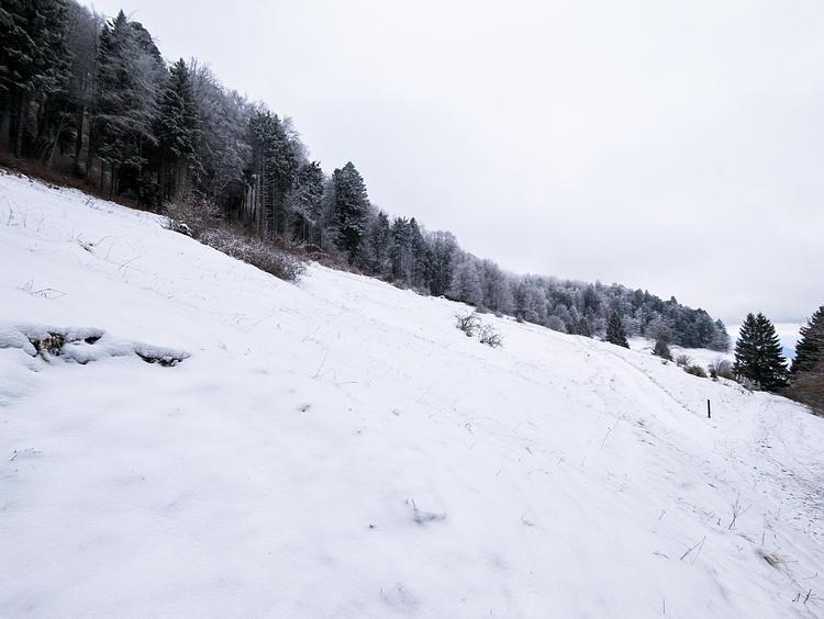
This hiking trail covers 1.207mi starting from Chanay, Ain. The hike does not return to the trailhead and ends near Grande Route, 01420 Chanay, France. This hike is rated as moderate, plan for about 38m50s to complete it. The route has an elevation gain of 141ft and an elevation loss of 597ft.
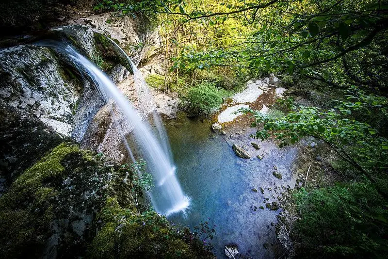
Cascade de la Dorche
Route details
1.86mph
Speed
282 kcal
Calories burned
11.6%
Avg grade
Point to point
Route type
1089ft
Min altitude
1617ft
Max altitude
Steep climb
Route profile
141ft
Elevation gain
597ft
Elevation loss
1089ft
Min altitude
1617ft
Max altitude
How to get there
Trailhead: 3 Rue De Quinsonnas, 01420 Chanay, France
GPS coordinates of the trailhead: 46.00565, 5.78586 / 46°0'20'' N, 5°47'9'' E