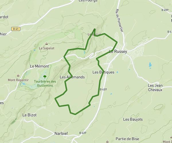
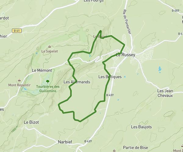
This hiking trail covers 1.489mi starting from Les Gras, Doubs. The hike is a loop trail and returns to the trailhead. This hike is rated as easy, plan for about 47m56s to complete it. The route has an elevation gain of 374ft and an elevation loss of 374ft.
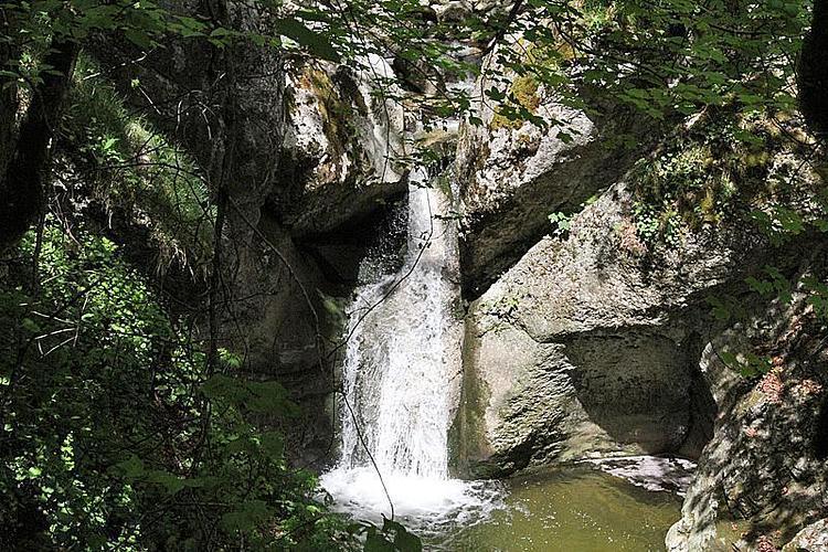
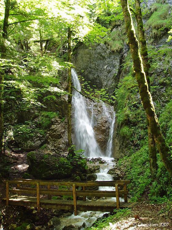
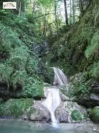
Cascade des Chaudières
Route details
1.86mph
Speed
362 kcal
Calories burned
9.5%
Avg grade
Loop trail
Route type
2756ft
Min altitude
3002ft
Max altitude
Steep climb
Route profile
374ft
Elevation gain
374ft
Elevation loss
2756ft
Min altitude
3002ft
Max altitude
How to get there
Trailhead: Rue Du Tartemont, 25790 Les Gras
GPS coordinates of the trailhead: 46.99612, 6.55035 / 46°59'46'' N, 6°33'1'' E