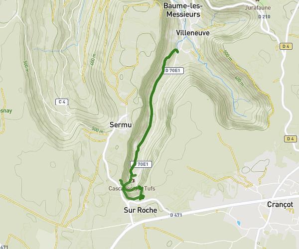
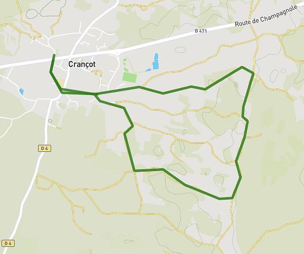
This hiking trail covers 1.144mi starting from Champagnole, Jura. The hike does not return to the trailhead and ends near 41 Rue Du Moulin, 39300 Champagnole, France. This hike is rated as easy, plan for about 36m49s to complete it. The route has an elevation gain of 167ft and an elevation loss of 98ft.
Cascade des Îles
Route details
1.86mph
Speed
270 kcal
Calories burned
4.4%
Avg grade
Point to point
Route type
1749ft
Min altitude
1880ft
Max altitude
Route profile
167ft
Elevation gain
98ft
Elevation loss
1749ft
Min altitude
1880ft
Max altitude
How to get there
Trailhead: 140 Chemin De Provelle, 39300 Champagnole, France
GPS coordinates of the trailhead: 46.75612, 5.88863 / 46°45'22'' N, 5°53'19'' E