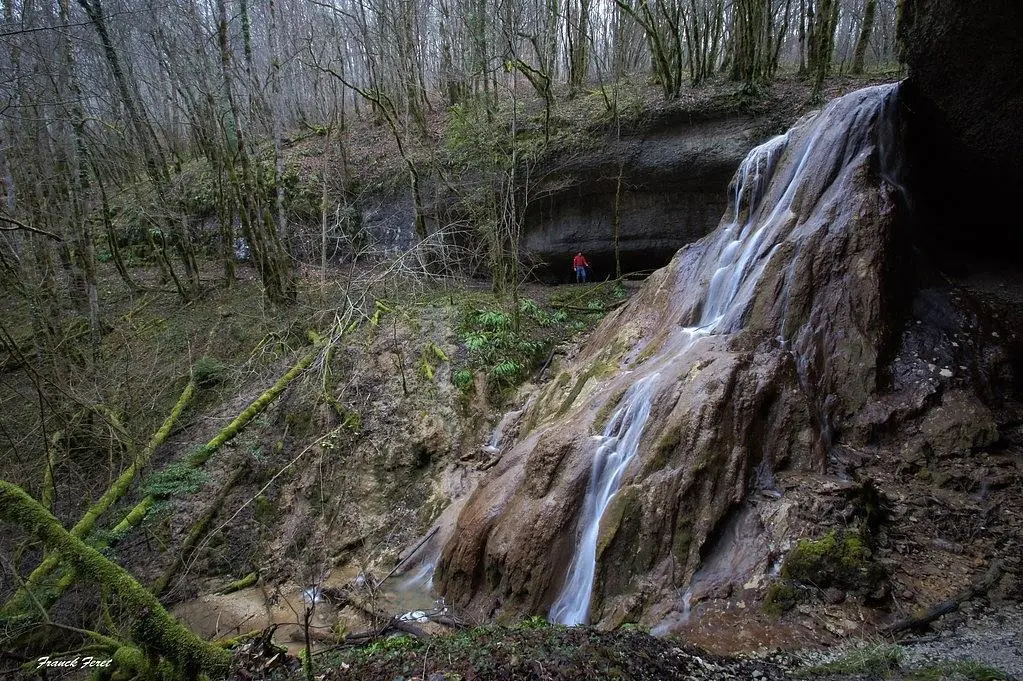
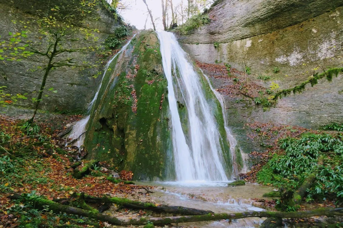
This hiking trail covers 5.47mi starting from Ornans, Doubs. The hike is a loop trail and returns to the trailhead. This hike is rated as hard, plan for about 2h56m to complete it. The route has an elevation gain of 1024ft and an elevation loss of 1020ft.
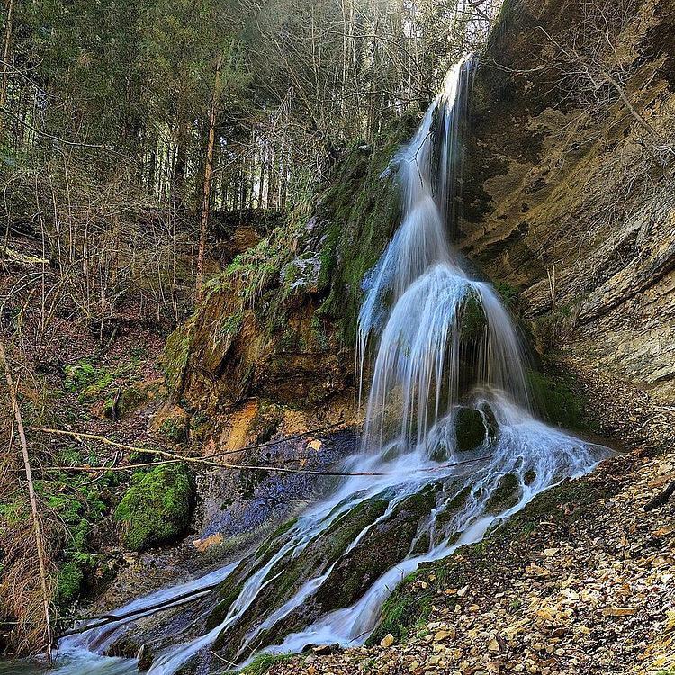
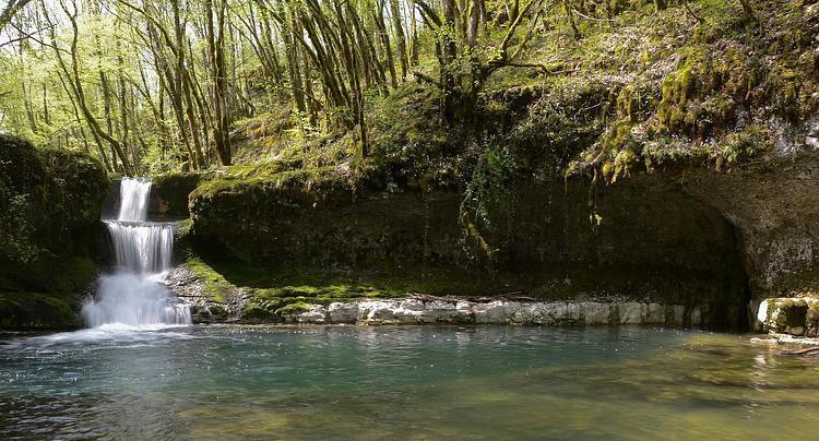
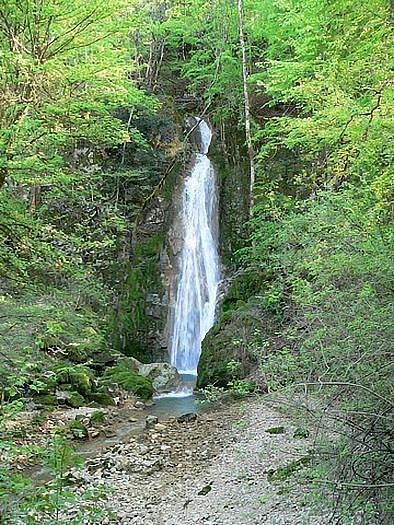
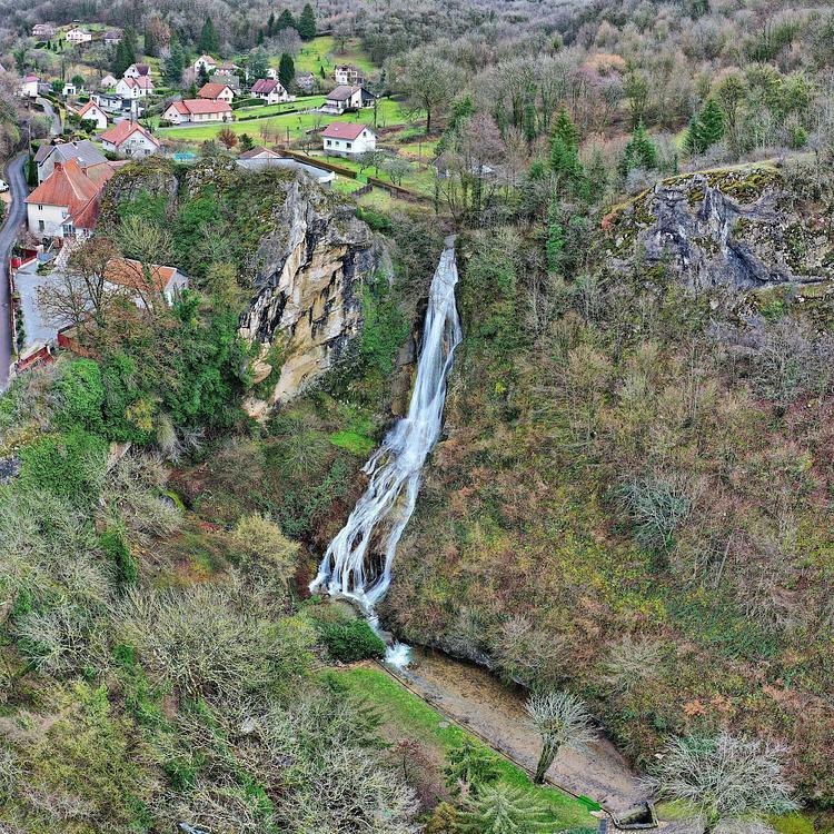
Cascades d'Ornans
Route details
1.86mph
Speed
1305 kcal
Calories burned
7.1%
Avg grade
Loop trail
Route type
1148ft
Min altitude
2096ft
Max altitude
Route profile
1024ft
Elevation gain
1020ft
Elevation loss
1148ft
Min altitude
2096ft
Max altitude
How to get there
Trailhead: Chemin De La Tuilerie, 25290 Ornans
GPS coordinates of the trailhead: 47.08757, 6.16334 / 47°5'15'' N, 6°9'48'' E