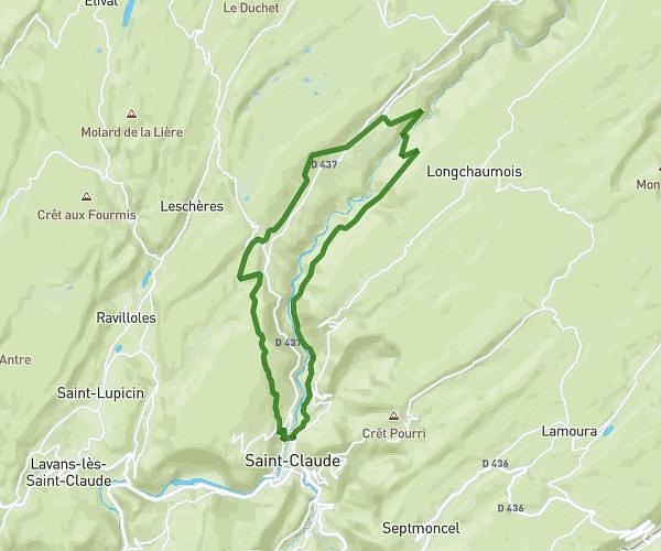
This hiking trail covers 0.923mi starting from Saint-Hymetière-sur-Valouse, Jura. The hike does not return to the trailhead and ends near D 56e1, 39240 Saint-Hymetière-sur-Valouse. This hike is rated as easy, plan for about 29m43s to complete it. The route has an elevation gain of 98ft and an elevation loss of 367ft.
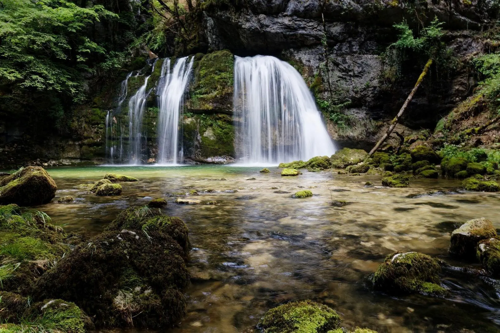
Cascades de Caborne de boeuf
Route details
1.86mph
Speed
215 kcal
Calories burned
9.6%
Avg grade
Point to point
Route type
1099ft
Min altitude
1375ft
Max altitude
Steep climb
Route profile
98ft
Elevation gain
367ft
Elevation loss
1099ft
Min altitude
1375ft
Max altitude
How to get there
Trailhead: D 56e1, 39240 Saint-Hymetière-sur-Valouse
GPS coordinates of the trailhead: 46.35749, 5.54537 / 46°21'26'' N, 5°32'43'' E