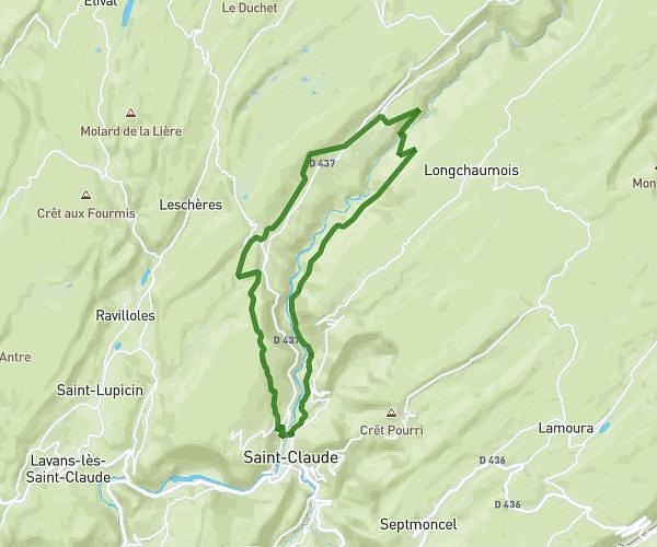
This hiking trail covers 2.96mi starting from Jeurre, Jura. The hike does not return to the trailhead and ends near D 436, 39360 Jeurre, France. This hike is rated as moderate, plan for about 1h35m to complete it. The route has an elevation gain of 394ft and an elevation loss of 846ft.
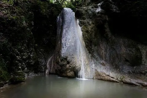
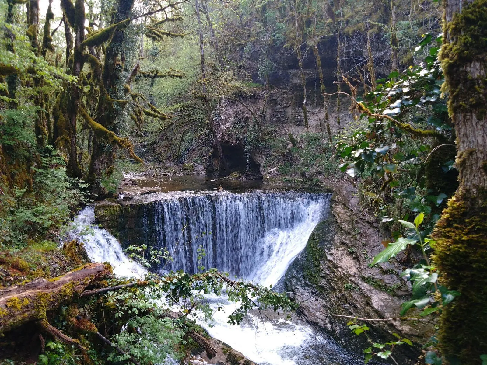
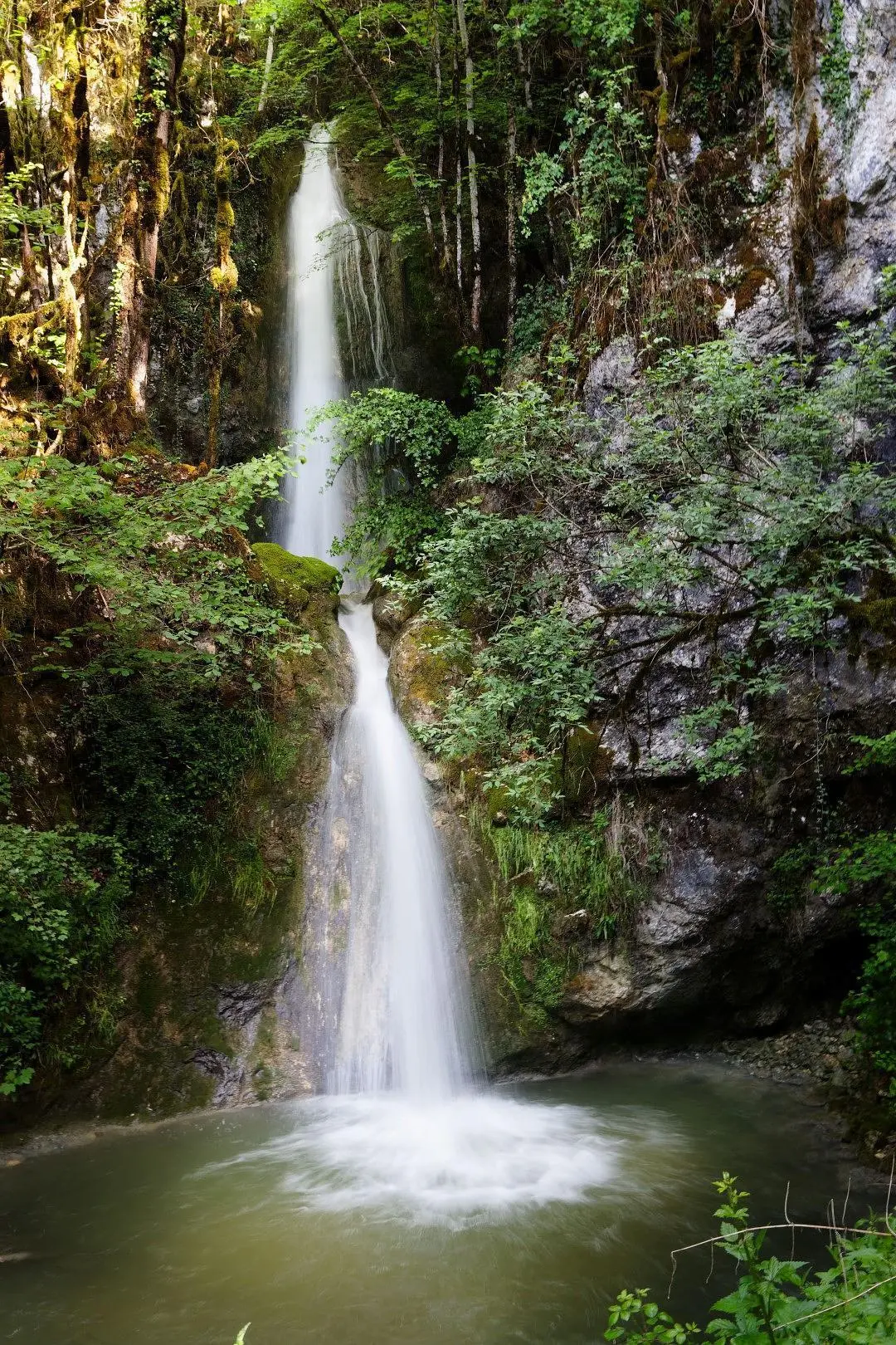
Cascades de Jeurre
Route details
1.86mph
Speed
695 kcal
Calories burned
7.9%
Avg grade
Point to point
Route type
1066ft
Min altitude
1709ft
Max altitude
Route profile
394ft
Elevation gain
846ft
Elevation loss
1066ft
Min altitude
1709ft
Max altitude
How to get there
Trailhead: D 27, 39360 Jeurre, France
GPS coordinates of the trailhead: 46.38523, 5.71361 / 46°23'6'' N, 5°42'48'' E