This hiking trail covers 1.828mi starting from Ornans, Doubs. The hike does not return to the trailhead and ends near C 3, 25580 Ornans. This hike is rated as easy, plan for about 58m50s to complete it. The route has an elevation gain of 351ft and an elevation loss of 148ft.
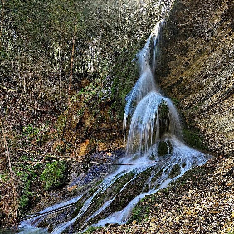
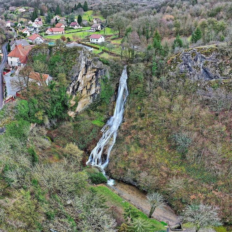
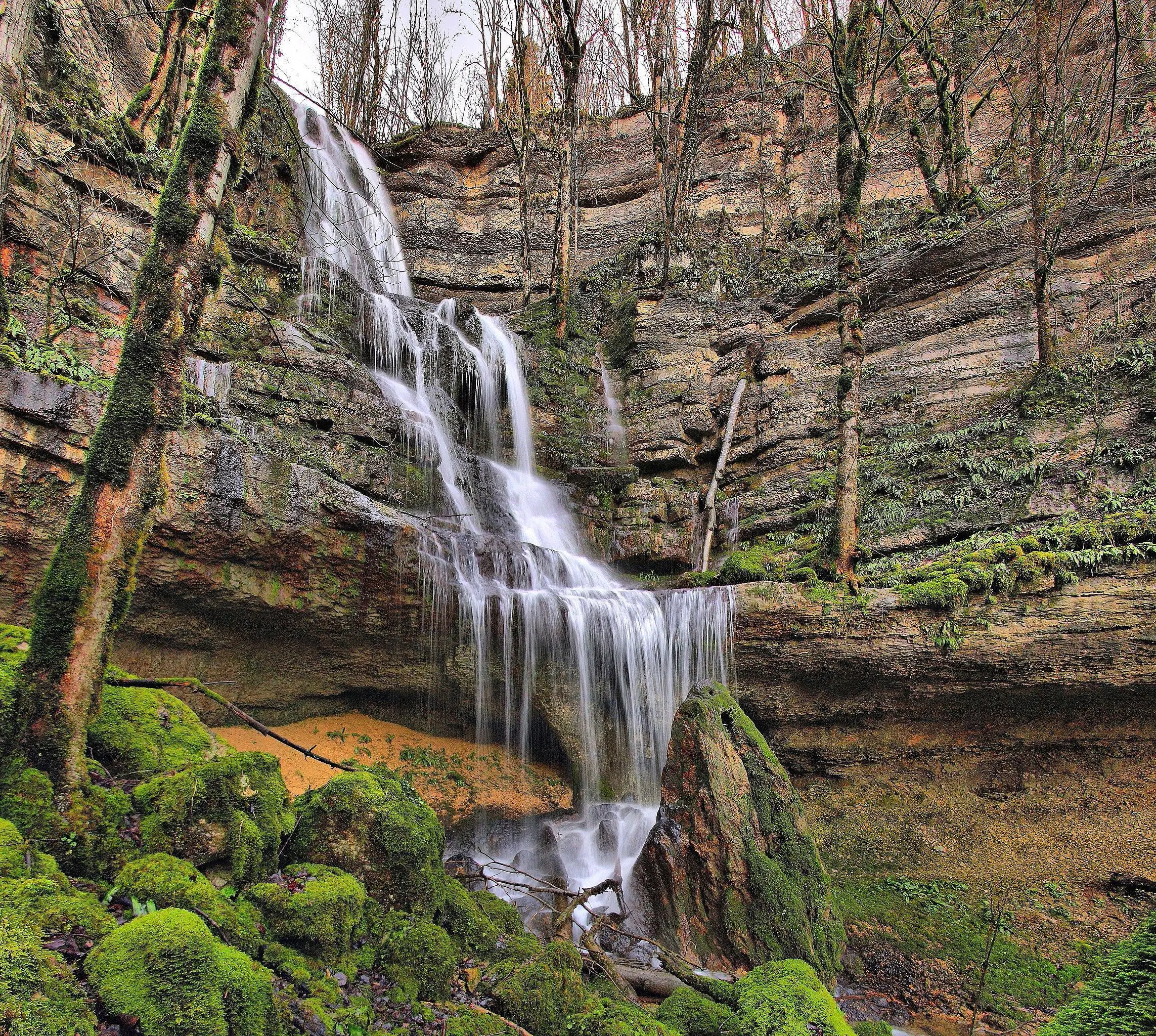
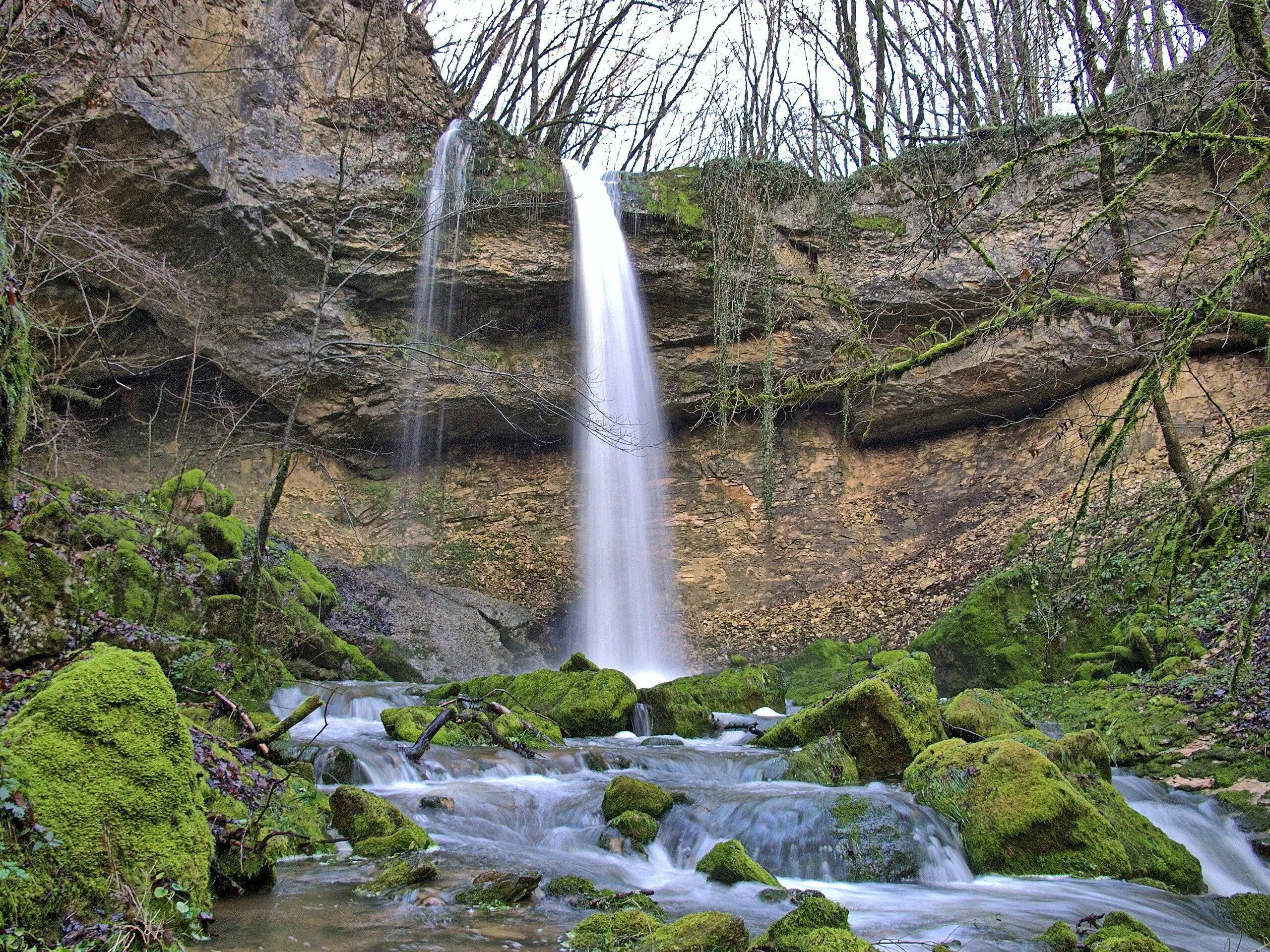
Cascades de la Brême
Route details
1.86mph
Speed
437 kcal
Calories burned
5.2%
Avg grade
Point to point
Route type
1207ft
Min altitude
1444ft
Max altitude
Route profile
351ft
Elevation gain
148ft
Elevation loss
1207ft
Min altitude
1444ft
Max altitude
How to get there
Trailhead: Rue Moulin Du Bas, 25290 Ornans
GPS coordinates of the trailhead: 47.13023, 6.16422 / 47°7'48'' N, 6°9'51'' E