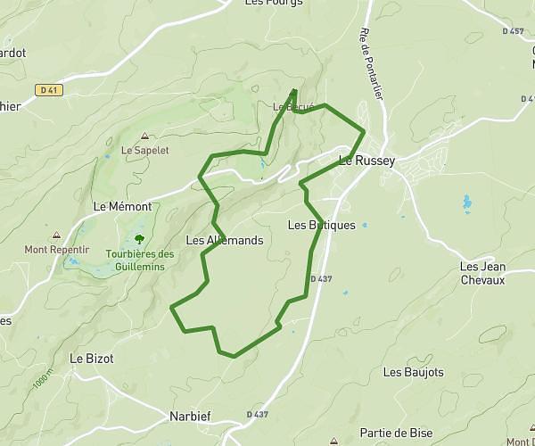
This hiking trail covers 2.143mi starting from Môtiers, Neuchâtel. The hike does not return to the trailhead and ends near A La Vaux, 1453 Mauborget. This hike is rated as moderate, plan for about 1h8m to complete it. The route has an elevation gain of 1253ft and an elevation loss of 203ft.
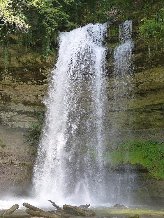
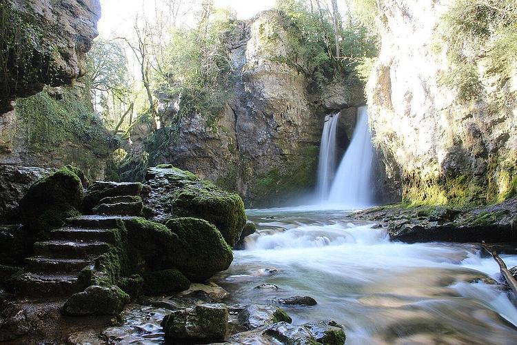
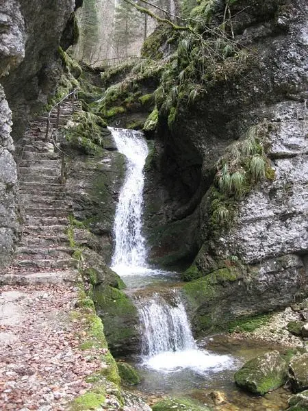
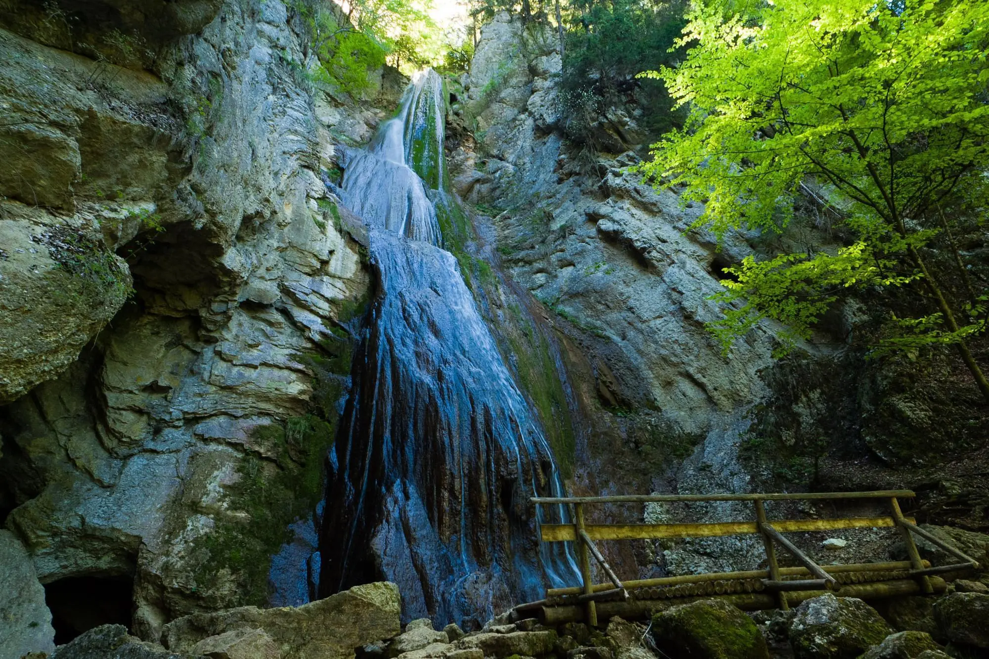
Cascades de Môtiers
Route details
1.86mph
Speed
572 kcal
Calories burned
12.9%
Avg grade
Point to point
Route type
2428ft
Min altitude
3478ft
Max altitude
Steep climb
Route profile
1253ft
Elevation gain
203ft
Elevation loss
2428ft
Min altitude
3478ft
Max altitude
How to get there
Trailhead: Rue Du Moulinet, 2112 Môtiers
GPS coordinates of the trailhead: 46.90819, 6.6152 / 46°54'29'' N, 6°36'54'' E