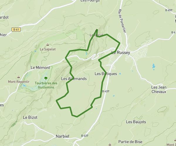
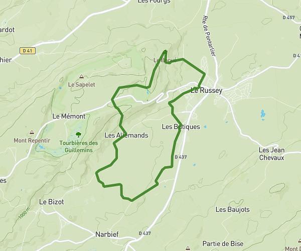
This hiking trail covers 3.659mi starting from Villers-le-Lac, Doubs. The hike does not return to the trailhead and ends near Sentier De La Côte, 2325 Villers-le-Lac. This hike is rated as hard, plan for about 1h57m to complete it. The route has an elevation gain of 1142ft and an elevation loss of 1322ft.
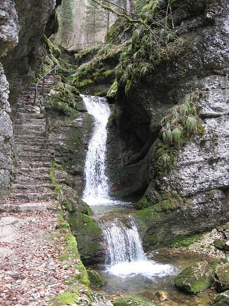
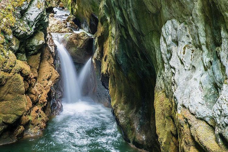
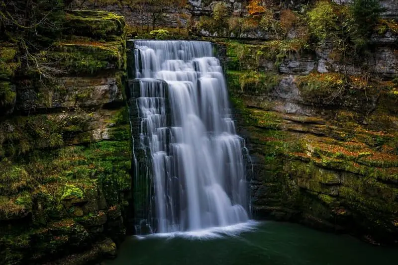
Cascades du val de Doubs
Route details
1.86mph
Speed
906 kcal
Calories burned
12.8%
Avg grade
Point to point
Route type
2198ft
Min altitude
2644ft
Max altitude
Steep climb
Route profile
1142ft
Elevation gain
1322ft
Elevation loss
2198ft
Min altitude
2644ft
Max altitude
How to get there
Trailhead: Saut-Du-Doubs, 25130 Villers-le-Lac
GPS coordinates of the trailhead: 47.0854, 6.70796 / 47°5'7'' N, 6°42'28'' E