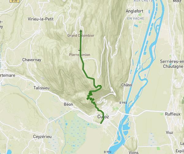
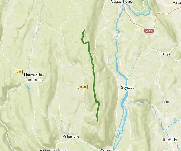
This hiking trail covers 2.25mi starting from Artemare, Ain. The hike does not return to the trailhead and ends near 2731 Route De La Cascade, 01260 Valromey-sur-Séran, France. This hike is rated as easy, plan for about 26m to complete it. The route has an elevation gain of 869ft and an elevation loss of 312ft.
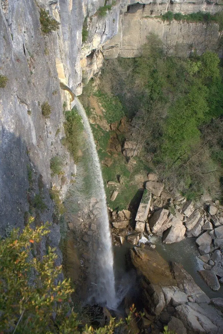
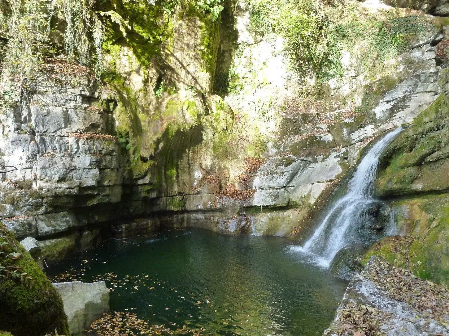
De Balthazar à Cerveyrieu par Thurignin
Route details
5.19mph
Speed
204 kcal
Calories burned
9.9%
Avg grade
Point to point
Route type
814ft
Min altitude
1378ft
Max altitude
Steep climb
Route profile
869ft
Elevation gain
312ft
Elevation loss
814ft
Min altitude
1378ft
Max altitude
How to get there
Trailhead: 6 Rue Du Stade, 01510 Artemare, France
GPS coordinates of the trailhead: 45.87447, 5.68777 / 45°52'28'' N, 5°41'15'' E