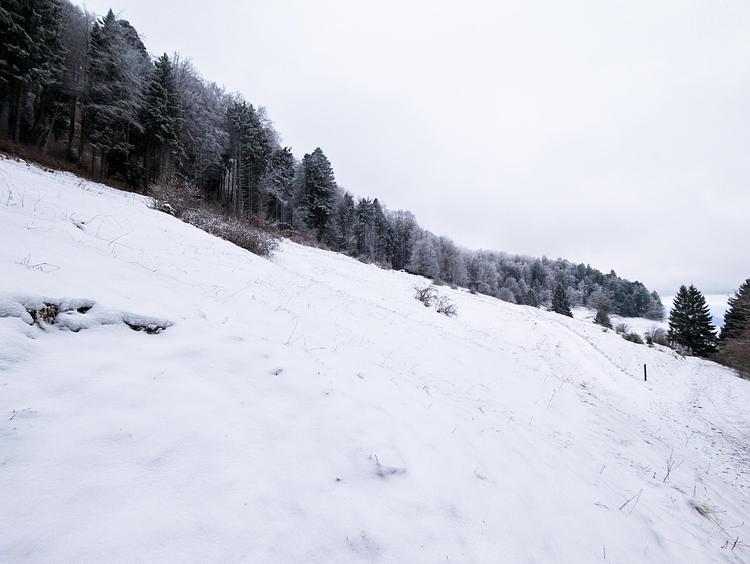
This hiking trail covers 0.889mi starting from Éloise, Haute-Savoie. The hike does not return to the trailhead and ends near Chemin Du Pont, 01200 Éloise. This hike is rated as easy, plan for about 28m37s to complete it. The route has an elevation gain of 56ft and an elevation loss of 548ft.
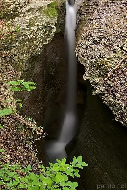
Tine de Parnant
Route details
1.86mph
Speed
204 kcal
Calories burned
12.9%
Avg grade
Point to point
Route type
1184ft
Min altitude
1693ft
Max altitude
Steep climb
Route profile
56ft
Elevation gain
548ft
Elevation loss
1184ft
Min altitude
1693ft
Max altitude
How to get there
Trailhead: Place De L'église, 01200 Éloise
GPS coordinates of the trailhead: 46.08073, 5.86101 / 46°4'50'' N, 5°51'39'' E