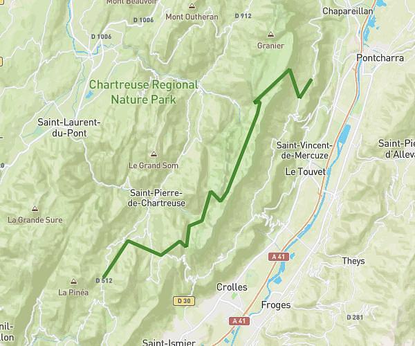
This running route covers 2.219mi starting from Biviers, Isère. The run is a loop trail and returns to the trailhead. This run is rated as easy, expect about 24m to complete it. The route has an elevation gain of 289ft and an elevation loss of 289ft.
Boucle 3.5
Route details
5.55mph
Speed
274 kcal
Calories burned
Loop trail
Route type
1060ft
Min altitude
1299ft
Max altitude
Route profile
289ft
Elevation gain
289ft
Elevation loss
1060ft
Min altitude
1299ft
Max altitude
How to get there
Trailhead: 419 Chemin Du Levet, 38330 Biviers, France
GPS coordinates of the trailhead: 45.23865, 5.81101 / 45°14'19'' N, 5°48'39'' E