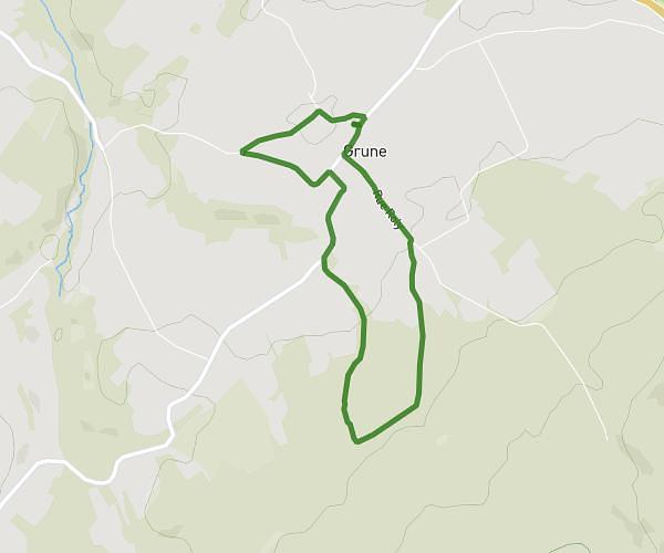
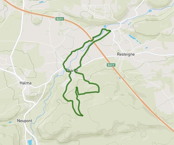
This running route covers 3.008mi starting from Nassogne, Luxembourg. The run is a loop trail and returns to the trailhead. This run is rated as easy, expect about 41m29s to complete it. The route has an elevation gain of 197ft and an elevation loss of 197ft.
Ambly 1
Route details
4.35mph
Speed
474 kcal
Calories burned
Loop trail
Route type
725ft
Min altitude
866ft
Max altitude
Route profile
197ft
Elevation gain
197ft
Elevation loss
725ft
Min altitude
866ft
Max altitude
How to get there
Trailhead: Rue Principale 30, 6953 Nassogne, Luxembourg, Belgium
GPS coordinates of the trailhead: 50.142, 5.31292 / 50°8'31'' N, 5°18'46'' E