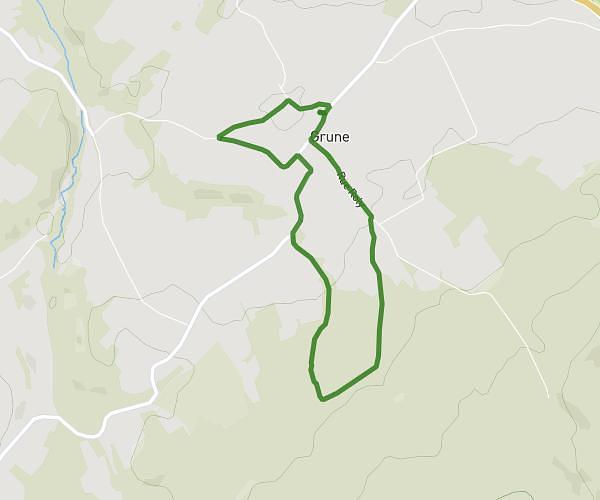
This running route covers 4.684mi starting from Rochefort, Namur. The run is a loop trail and returns to the trailhead. This run is rated as easy, expect about 1h53m to complete it. The route has an elevation gain of 607ft and an elevation loss of 607ft.
Hike des aigles
Route details
2.49mph
Speed
1293 kcal
Calories burned
Loop trail
Route type
482ft
Min altitude
814ft
Max altitude
Route profile
607ft
Elevation gain
607ft
Elevation loss
482ft
Min altitude
814ft
Max altitude
How to get there
Trailhead: Rue Des Marronniers 5, 5580 Rochefort, Namur, Belgium
GPS coordinates of the trailhead: 50.12367, 5.18833 / 50°7'25'' N, 5°11'17'' E