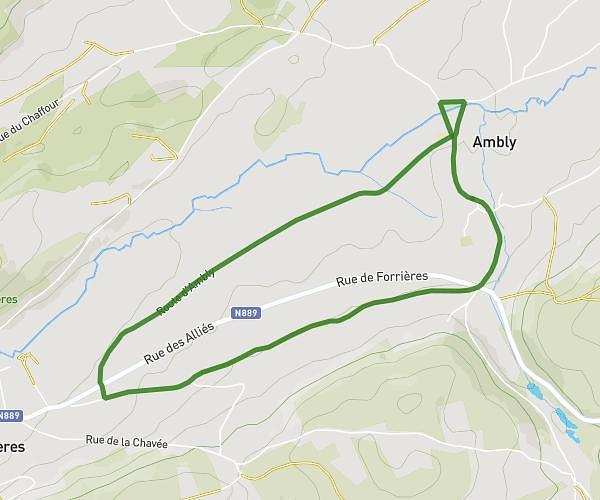
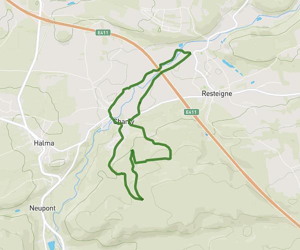
This running route covers 3.362mi starting from Nassogne, Luxembourg. The run is a loop trail and returns to the trailhead. This run is rated as easy, expect about 46m22s to complete it. The route has an elevation gain of 325ft and an elevation loss of 325ft.
Grune
Route details
4.35mph
Speed
530 kcal
Calories burned
Loop trail
Route type
1076ft
Min altitude
1299ft
Max altitude
Route profile
325ft
Elevation gain
325ft
Elevation loss
1076ft
Min altitude
1299ft
Max altitude
How to get there
Trailhead: Rue De L'eglise, 6952 Nassogne
GPS coordinates of the trailhead: 50.15633, 5.38204 / 50°9'22'' N, 5°22'55'' E