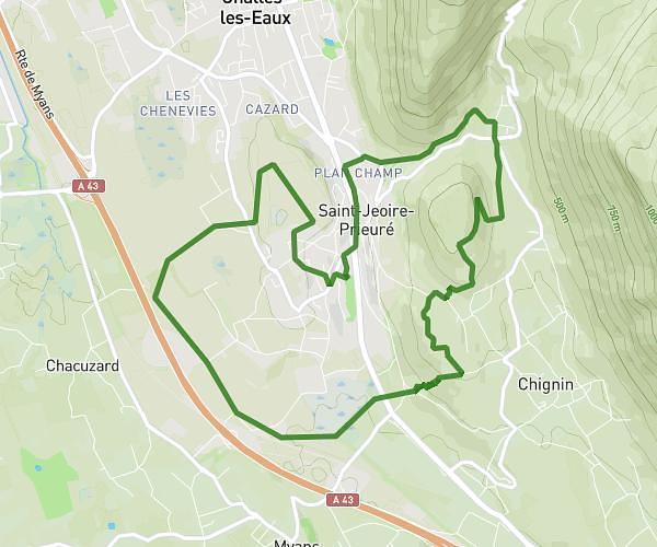
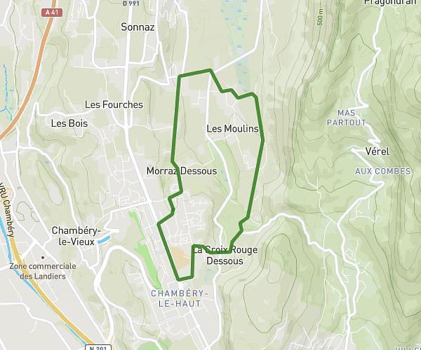
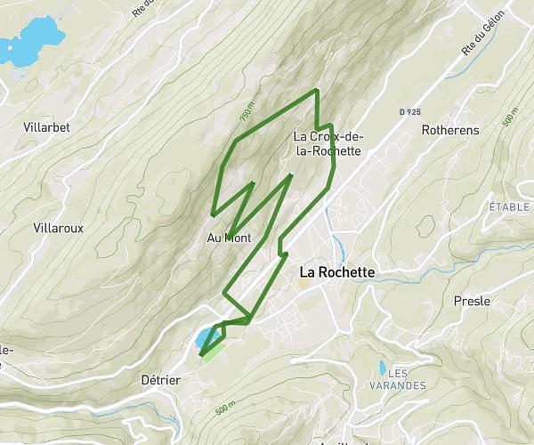
This running route covers 19.427mi starting from Saint-Pierre-de-Chartreuse, Isère. The run does not return to the trailhead and ends near Route Forestière De L'alpe, 38660 Sainte-Marie-du-Mont, France. This run is rated as strenuous, expect about 3h28m to complete it. The route has an elevation gain of 10633ft and an elevation loss of 8901ft.
Chartreuse Mai 26 - Etape#3
Route details
5.6mph
Speed
2378 kcal
Calories burned
Point to point
Route type
2756ft
Min altitude
6663ft
Max altitude
Route profile
10633ft
Elevation gain
8901ft
Elevation loss
2756ft
Min altitude
6663ft
Max altitude
How to get there
Trailhead: 91 Rue Jacques Brel, 38380 Saint-Pierre-de-Chartreuse, France
GPS coordinates of the trailhead: 45.342094, 5.814218 / 45°20'31'' N, 5°48'51'' E