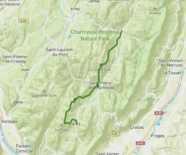
This running route covers 11.287mi starting from Seyssinet-Pariset, Isère. The run is a loop trail and returns to the trailhead. This run is rated as strenuous, expect about 2h1m to complete it. The route has an elevation gain of 5804ft and an elevation loss of 5801ft.
Vercors
Route details
5.6mph
Speed
1383 kcal
Calories burned
Loop trail
Route type
1483ft
Min altitude
6112ft
Max altitude
Route profile
5804ft
Elevation gain
5801ft
Elevation loss
1483ft
Min altitude
6112ft
Max altitude
How to get there
Trailhead: 117 Route De Saint-Nizier, 38170 Seyssinet-Pariset, France
GPS coordinates of the trailhead: 45.171954, 5.673922 / 45°10'19'' N, 5°40'26'' E