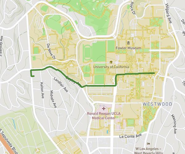
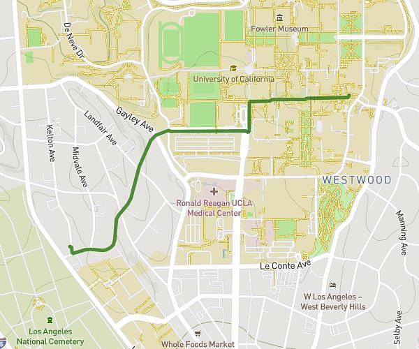
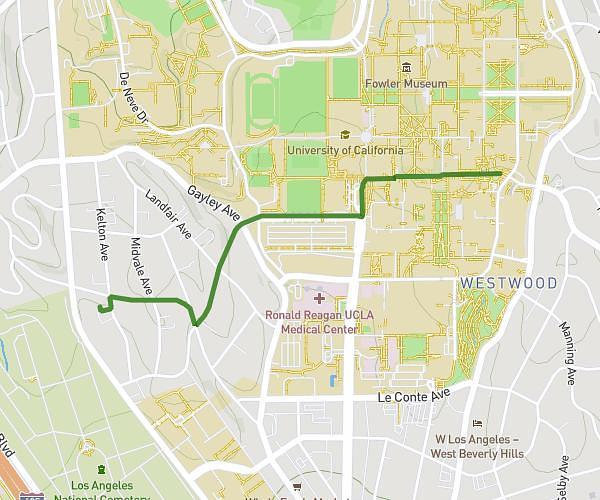
This walking route covers 0.954mi starting from Los Angeles, California. The walk does not return to the trailhead and ends near Charles E Young Drive East, 90095 Los Angeles. This walk is rated as easy, plan for about 1m8s to complete it. The route has an elevation gain of 148ft and an elevation loss of 79ft.
747 Gayley
Route details
1:12/mi
Pace
5 kcal
Calories burned
Point to point
Route type
354ft
Min altitude
472ft
Max altitude
Route profile
148ft
Elevation gain
79ft
Elevation loss
354ft
Min altitude
472ft
Max altitude
How to get there
Trailhead: Gayley Avenue, 90024 Los Angeles
GPS coordinates of the trailhead: 34.06428, -118.44847 / 34°3'51'' N, 118°26'54'' W