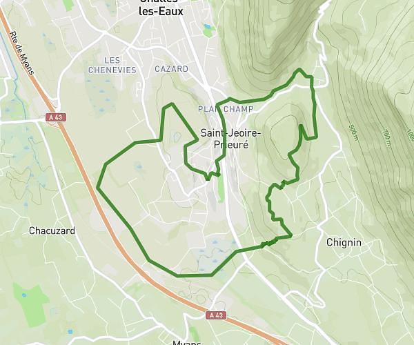
This running route covers 6.202mi starting from Le Touvet, Isère. The run is a loop trail and returns to the trailhead. This run is rated as moderate, expect about 59m53s to complete it. The route has an elevation gain of 440ft and an elevation loss of 453ft.
cross 10 km
Route details
6.21mph
Speed
685 kcal
Calories burned
Loop trail
Route type
961ft
Min altitude
1407ft
Max altitude
Route profile
440ft
Elevation gain
453ft
Elevation loss
961ft
Min altitude
1407ft
Max altitude
How to get there
Trailhead: 12 Route Du Bresson, 38660 Le Touvet, France
GPS coordinates of the trailhead: 45.36335, 5.95667 / 45°21'48'' N, 5°57'24'' E