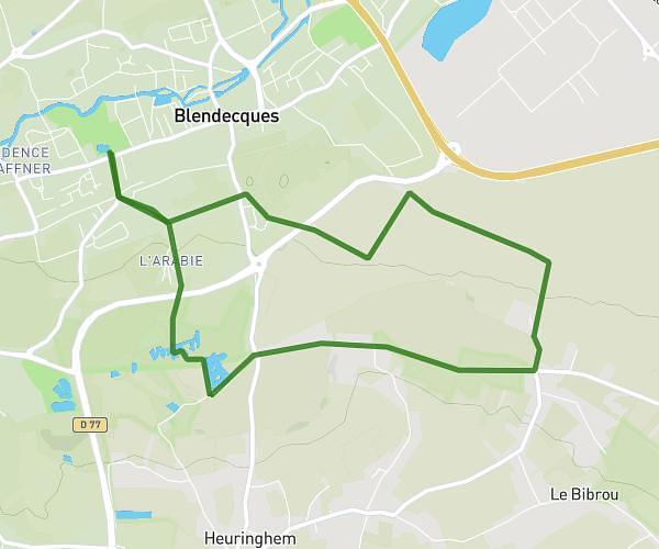
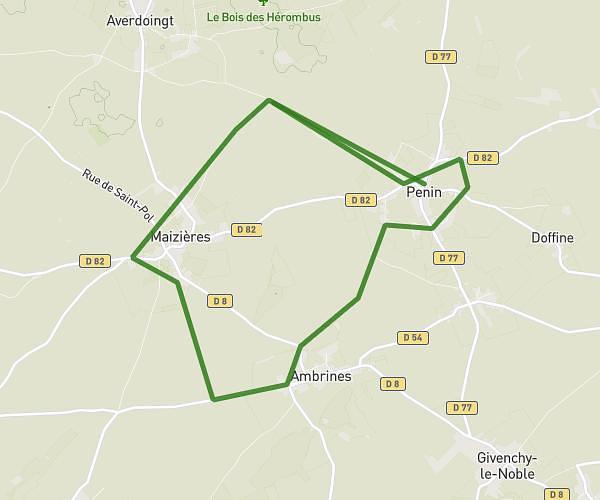
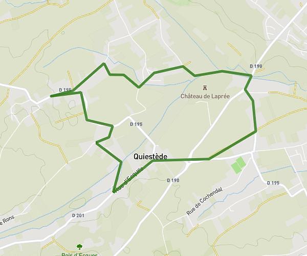
This hiking trail covers 8.691mi starting from Marles-les-Mines, Pas-de-Calais. The hike does not return to the trailhead and ends near 31 Rue Des Martyrs, 62232 Vendin-lès-Béthune, France. This hike is rated as easy, plan for about 2h19m to complete it. The route has an elevation gain of 220ft and an elevation loss of 374ft.
lolo
Route details
3.73mph
Speed
987 kcal
Calories burned
1.3%
Avg grade
Point to point
Route type
66ft
Min altitude
243ft
Max altitude
Route profile
220ft
Elevation gain
374ft
Elevation loss
66ft
Min altitude
243ft
Max altitude
How to get there
Trailhead: 29 Rue De Bergues, 62540 Marles-les-Mines, France
GPS coordinates of the trailhead: 50.4981, 2.49559 / 50°29'53'' N, 2°29'44'' E