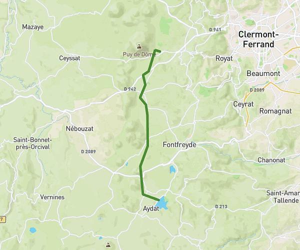
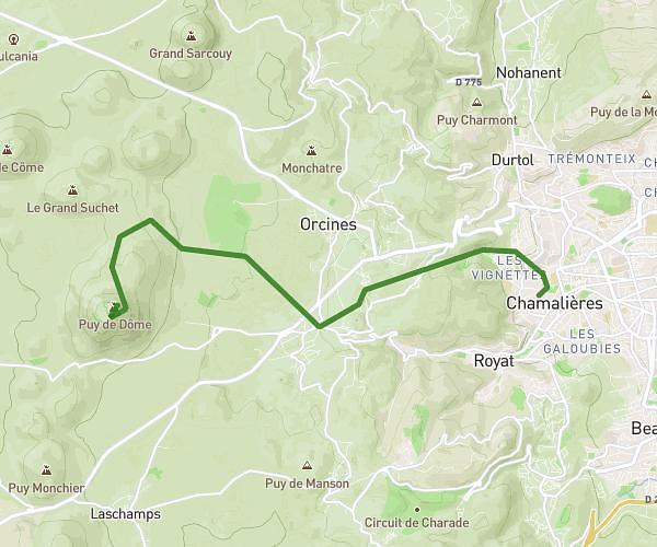
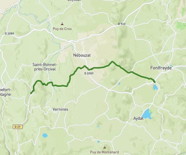
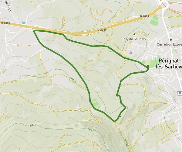
This hiking trail covers 12.972mi starting from Saint-Ours, Puy-de-Dôme. The hike does not return to the trailhead and ends near 4 Place De La Croix Du Guet, 63530 Volvic, France. This hike is rated as hard, plan for about 5h13m to complete it. The route has an elevation gain of 860ft and an elevation loss of 1847ft.
Gr 441 1er jour
Route details
2.49mph
Speed
2238 kcal
Calories burned
4.0%
Avg grade
Point to point
Route type
1680ft
Min altitude
2930ft
Max altitude
Route profile
860ft
Elevation gain
1847ft
Elevation loss
1680ft
Min altitude
2930ft
Max altitude
How to get there
Trailhead: 5 Rue Du 8 Mai 1945, 63230 Saint-Ours, France
GPS coordinates of the trailhead: 45.85016, 2.89203 / 45°51'0'' N, 2°53'31'' E